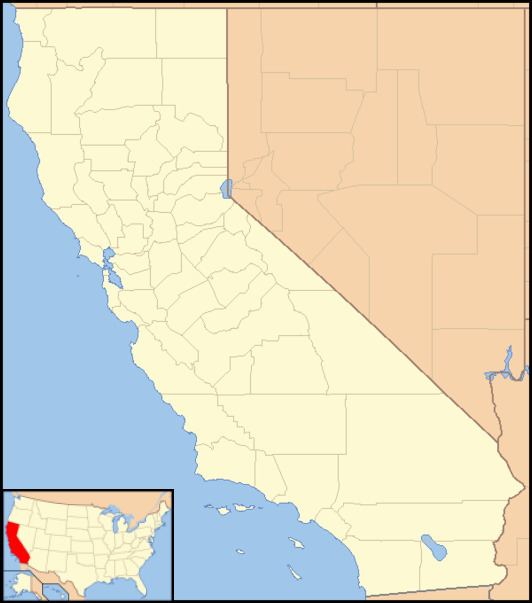
Country United States County Calaveras County Elevation 318 m | State California Reference no. 284 Local time Friday 11:08 PM | |
 | ||
Weather 12°C, Wind E at 5 km/h, 69% Humidity | ||
Jesus Maria is an unincorporated community in Calaveras County, California. It lies at an elevation of 1043 feet (318 m) and is located at 38°17′08″N 120°38′51″W. The community is in ZIP code 95222 and area code 209.
Contents
Map of Jesus Maria, CA 95245, USA
The community, the center of a large placer mining section, was named for a Mexican who raised vegetables and melons for the miners. It was settled in the early 1850s with a large population of Mexicans, French, Chileans, and Italians. Now it is only populated by a few families who live together and work for common goals, including a large community garden, basketball court, jungle gym for children, and a windmill to pump water.
Jesus Maria is registered as California Historical Landmark #284.
Politics
In the state legislature, Jesus Maria is in the 8th Senate District, represented by Republican Tom Berryhill, and the 5th Assembly District, represented by Republican Frank Bigelow. Federally, Jesus Maria is in California's 4th congressional district, represented by Republican Tom McClintock.
