
Country Nigeria Time zone WAT (UTC+1) | State Borno State Area 868 km² | |
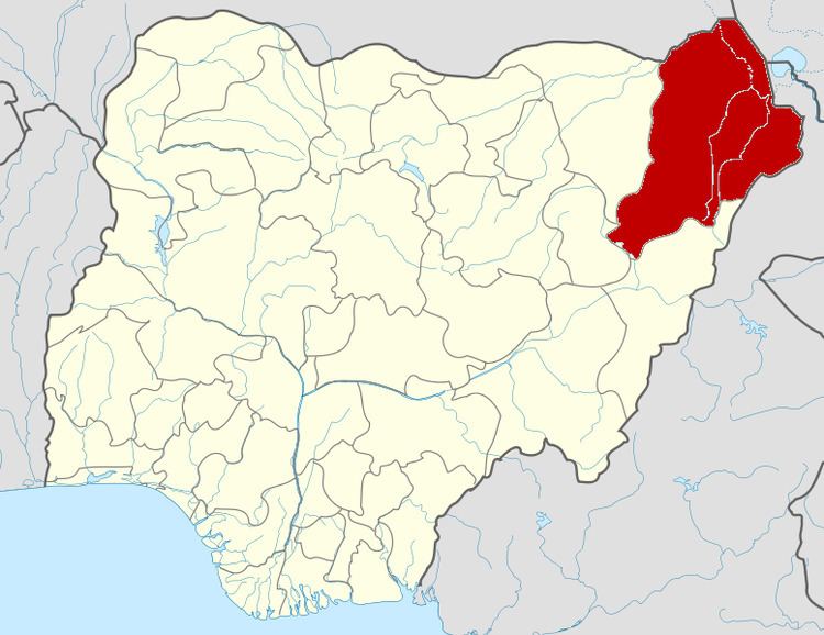 | ||
Jere is a Local Government Area of Borno State, Nigeria. Its headquarters are in the town of Khaddamari.
Map of Jere, Nigeria
It has an area of 868 km² and a population of 211,204 at the 2006 census > the Most of population in Jere Town (Arabic tribes Baggara)
The postal code of the area is 600.
It is one of the sixteen LGAs that constitute the Borno Emirate, a traditional state located in Borno State, Nigeria.
References
Jere, Borno Wikipedia(Text) CC BY-SA