
ZIP codes 46151, 46166 Elevation 189 m Local time Friday 2:18 PM | Time zone Eastern (EST) (UTC-5) GNIS feature ID 0453491 Area 92.23 km² Population 3,274 (2010) | |
 | ||
Weather 5°C, Wind NW at 21 km/h, 36% Humidity | ||
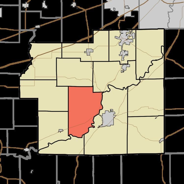
Jefferson Township is one of fourteen townships in Morgan County, Indiana, United States. As of the 2010 census, its population was 3,274 and it contained 1,309 housing units.
Contents
- Map of Jefferson Township IN USA
- Geography
- Unincorporated towns
- Cemeteries
- Major highways
- School districts
- Political districts
- References
Map of Jefferson Township, IN, USA
Geography
According to the 2010 census, the township has a total area of 35.61 square miles (92.2 km2), of which 34.97 square miles (90.6 km2) (or 98.20%) is land and 0.64 square miles (1.7 km2) (or 1.80%) is water.
Unincorporated towns
(This list is based on USGS data and may include former settlements.)
Cemeteries
The township contains these six cemeteries: Bethlehem, Foster, Hynds, Mount Gilead, Schultz and Stout.
Major highways
School districts
Political districts
References
Jefferson Township, Morgan County, Indiana Wikipedia(Text) CC BY-SA