
Country United States Elevation 340 m Local time Friday 1:12 PM | GNIS feature ID 0469109 Area 144.6 km² Population 834 (2000) | |
 | ||
Weather 9°C, Wind NE at 26 km/h, 35% Humidity | ||
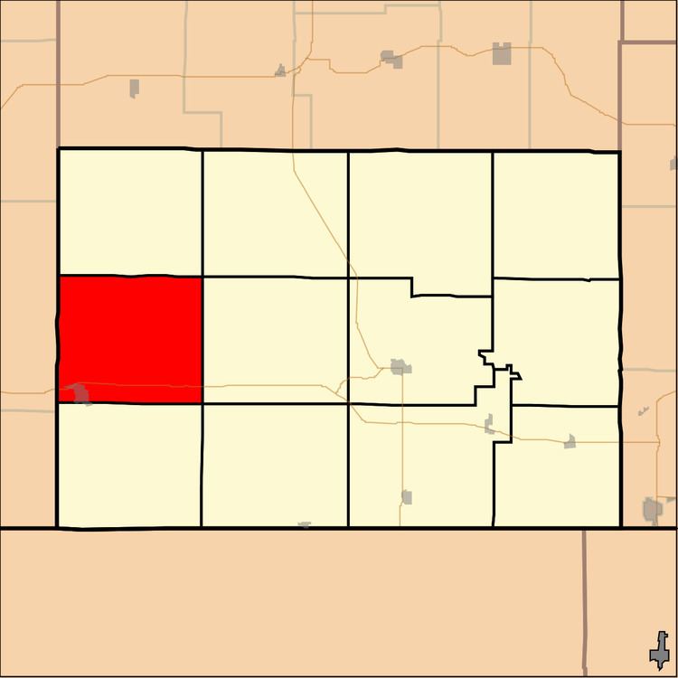
Jefferson Township is a township in Chautauqua County, Kansas, USA. As of the 2000 census, its population was 834.
Contents
Map of Jefferson, KS 67024, USA
Geography
Jefferson Township covers an area of 55.82 square miles (144.6 km2) and contains one incorporated settlement, Cedar Vale. According to the USGS, it contains three cemeteries: Cedar Vale, Grant Creek and Round Mound.
The streams of Otter Creek, Shanghai Creek, Turkey Creek and Union Creek run through this township.
Transportation
Jefferson Township contains one airport or landing strip, Mills Ranch Airport.
References
Jefferson Township, Chautauqua County, Kansas Wikipedia(Text) CC BY-SA