
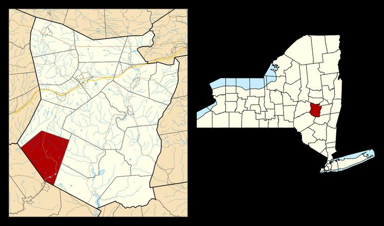
Country United States County Schoharie FIPS code 36-38440 Elevation 607 m Population 1,285 (2000) Area code 607 | State New York Time zone Eastern (EST) (UTC-5) GNIS feature ID 0979106 Zip code 12093 Local time Friday 2:26 PM | |
 | ||
Weather -4°C, Wind NW at 34 km/h, 57% Humidity Area 112.4 km² (112.1 km² Land / 26 ha Water) | ||
History
The town was first settled around 1793 by New Englanders and was unoccupied by settlers during the American Revolution.
Contents
In 1803, the town was created from part of the Town of Blenheim.
The First Presbyterian Church of Jefferson and Parker 13-Sided Barn are listed on the National Register of Historic Places.
Geography
According to the United States Census Bureau, the town has a total area of 43.4 square miles (112 km2), of which, 43.3 square miles (112 km2) of it is land and 0.1 square miles (0.26 km2) of it (0.28%) is water.
The west town line is the border of Delaware County.
The West Branch of the Delaware River and the East Branch of the Susquehanna River originate in Jefferson.
Demographics
As of the census of 2000, there are 1,285 people, 520 households, and 364 families residing in the town. The population density is 11.5/km² km² (29.7/sq mi). There were 904 housing units at an average density of 20.9 per square mile (8.1/km²). The racial makeup of the town was 96.42% White, 1.71% African American, 0.16% Native American, 0.08% Asian, 0.08% from other races, and 1.56% from two or more races. Hispanic or Latino of any race were 1.17% of the population.
There were 520 households out of which 27.9% had children under the age of 18 living with them, 58.3% were married couples living together, 7.5% had a female householder with no husband present, and 30.0% were non-families. 25.0% of all households were made up of individuals and 9.0% had someone living alone who was 65 years of age or older. The average household size was 2.47 and the average family size was 2.91.
In the town, the population was spread out with 23.3% under the age of 18, 4.7% from 18 to 24, 25.4% from 25 to 44, 30.7% from 45 to 64, and 15.9% who were 65 years of age or older. The median age was 43 years. For every 100 females there were 100.8 males. For every 100 females age 18 and over, there were 100.6 males.
The median income for a household in the town was $35,000, and the median income for a family was $43,269. Males had a median income of $34,875 versus $25,417 for females. The per capita income for the town was $19,569. About 9.1% of families and 9.9% of the population were below the poverty line, including 10.8% of those under age 18 and 9.2% of those age 65 or over.