
Elevation 312 m Local time Friday 7:56 AM | Postal code 696 74 Area 24.43 km² | |
 | ||
Weather 4°C, Wind W at 11 km/h, 90% Humidity | ||
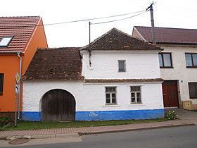
Javorník is a village and municipality (obec) in Hodonín District in the South Moravian Region of the Czech Republic.
Map of 696 74 Javorn%C3%ADk, Czechia
The municipality covers an area of 24.43 square kilometres (9.43 sq mi), and has a population of 726 (as at 1 January 2008).
Javorník, a part of traditional ethnographic region Horňácko, lies approximately 30 kilometres (19 mi) east of Hodonín, 77 km (48 mi) south-east of Brno, and 263 km (163 mi) south-east of Prague.
References
Javorník (Hodonín District) Wikipedia(Text) CC BY-SA