
Elevation 837 m (2,746 ft) Region Moravia Age of rock Paleozoic Peak Javořice Period Paleozoic | Length 68 km (42 mi) Orogeny Variscan Area 624 km² Country Czech Republic Parent range Bohemian Massif | |
 | ||
Location Javoricka vrchovina CZ I2 C-6.png | ||
The Javořice Highlands (Czech: Javořická vrchovina, German: Jaborschützer Bergeland ) is a mountain range in Moravia, Czech Republic. The Highlands, together with the Jevišovice highlands threshold, form the Western-Moravian part of Moldanubian Zone - east south part of Bohemian Massif.
GeographyEdit
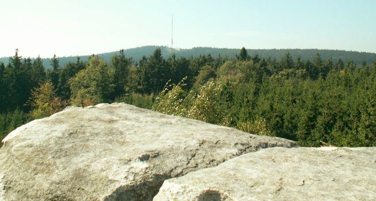
The Javořice Highlands rise to the north of the Gmünd, Lower Austria between Slavonice, and the Studená and Mrákotín in the north. The Highlands have an area of 624 square kilometres (241 sq mi) and an average height of 604 metres (1,982 ft). The highest peak is Javořice at 837 metres (2,746 ft); other peaks are Hradisko 760 metres (2,490 ft), Pivničky 760 metres (2,490 ft) Vysoký kámen 723 metres (2,372 ft), Bukový vrch 720.9 metres (2,365 ft), Starohuťský vrch 704 metres (2,310 ft), and Čihadlo 700 metres (2,300 ft).
To the southeast is the Holbruner Wald (Holbrun Forest) in Lower Austria part of Javořice Highlands as well and in the east Jevišovice Highlands. The Javořice Highlands naturally established Bohemian-Moravian border. The mountain range is 76% forested, though mainly by plantations. The forests are in good condition. Numerous bogs and ponds.
The primary composition of the range is Carboniferous-Cambrian Granite and Granodiorite. Often quartz veins. Soil horizon - mainly Cambisol.
The Dyje (parallel valley), and Jihlava (source), Nežárka (source) as well among others, originates here, and the towns include Telč (Low land of Javořice Highlands - Thaya valley), Dačice, Slavonice.