
Quadrant NW Sector Mature area Elevation 670 m | Ward 1 Area 66 ha Population 1,840 (2012) | |
 | ||
Restaurants Ichiban Restaurant Japanese, Palmyra Cafè, McDonal, Rice Bowl Express, Pizza 73 | ||
Jasper Park is a neighbourhood in west Edmonton, Alberta, Canada that was once a part of the Town of Jasper Place. It became a part of Edmonton when Jasper Place amalgamated with Edmonton in 1964. It is a smaller residential neighbourhood bounded on the south by 87 Avenue, on the east by 149 Street, on the west by 156 Street, and on the north by 92 Avenue.
Contents
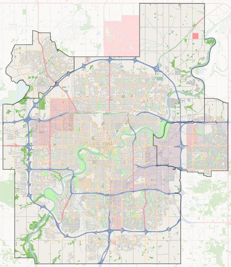
Map of Jasper Park, Edmonton, AB, Canada
Residents have access to shopping. Not only are there two strip shopping centres in the neighbourhood, Meadowlark Health and Shopping Centre is located immediately to the west in the neighbourhood of Meadowlark Park. A little farther west is West Edmonton Mall.
Demographics
In the City of Edmonton's 2012 municipal census, Jasper Park had a population of 7003184000000000000♠1,840 living in 7002973000000000000♠973 dwellings, a -3% change from its 2009 population of 7003189700000000000♠1,897. With a land area of 0.66 km2 (0.25 sq mi), it had a population density of 7003278790000000000♠2,787.9 people/km2 in 2012.
Surrounding neighbourhoods
Adjacent neighbourhoods are Laurier Heights, Lynnwood, Meadowlark Park, Parkview, and Sherwood. These are all residential neighbourhoods.