
Intercommunality Cœur du Pays Fort Area 37.34 km² Local time Friday 2:23 AM | Time zone CET (UTC+1) Population 505 (1999) | |
 | ||
Weather 11°C, Wind NW at 3 km/h, 90% Humidity | ||
Jars is a commune in the Cher department in the Centre region of France.
Contents
Map of 18260 Jars, France
Geography
An area of forestry and farming, comprising the village and several hamlets situated in the valley of the river Sauldre, some 24 miles (39 km) northeast of Bourges, at the junction of the D923, D55 and the D47 roads.
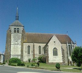
Sights
References
Jars, Cher Wikipedia(Text) CC BY-SA