Time zone IST (UTC+5:30) Elevation 313 m Local time Friday 5:44 AM | PIN 391510 Population 6,438 (2001) Area code 02668 | |
 | ||
Weather 21°C, Wind SW at 5 km/h, 81% Humidity | ||
Jarod is a village in Vaghodia Taluka of Vadodara district in Gujarat state of India.
Contents
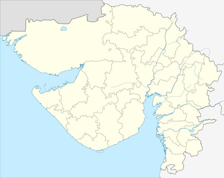
Map of Jarod, Gujarat 391510
Geography
Jarod is located at 22.433°N 73.33°E / 22.433; 73.33. It has an average elevation of 313 metres (1030 feet).
Jarod is center of four taluka Waghodia, Savli, Halol, Vadodara all four is like same distance in four direction. There are three Government school namely Jarod Group Kumar Shala only boys studying which is 60-70 year old school , Kanyashala only girls studying standard 1 to 7 and Shree M P Highschool in which standard 1 to 8 is non granted & 9 to 12 is government granted. Also Private schools are Nalanda Vidhyalaya, Aroma School.
Demographics
As of 2001 India census, Jarod had a population of 6,438. Males constitute 3,361 and females are 3,077.
Transport
The usual mode of transport is state owned buses, although private buses are also a part of it, whereas for long journeys trains are preferred and the most preferred one station is Vadodara, which is approx 24 km from the village.
