
Arabic جرش | Name meaning Jerash; personal name Palestine grid 151/126 Date of depopulation 21 October 1948 | |
 | ||
Weather 12°C, Wind W at 5 km/h, 92% Humidity | ||
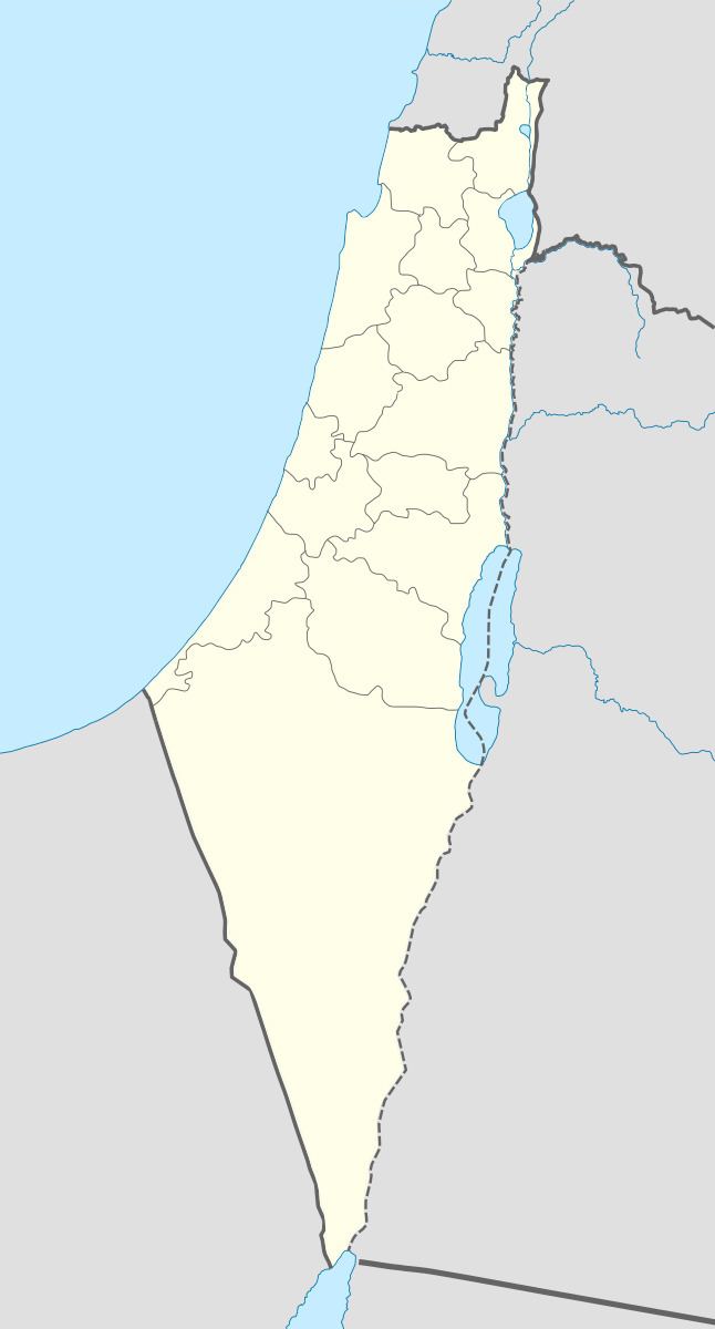
Jarash (Arabic: جرش) was a Palestinian village that was depopulated over the course of 1948 Arab-Israeli war. Located 25 kilometers west of Jerusalem, Jarash was a wholly Arab village of 220 inhabitants in 1948.
Contents
History
To the east of the village lay Khirbat Sira, which is identified with a Mamluk/Ottoman village. In 1863 Victor Guérin found Jarash to have 25 inhabitants.
In 1883, the Palestine Exploration Fund's Survey of Western Palestine described Jarash was described as a village built on the spur of a hill with olive trees growing below it.
British Mandate era
In the 1922 census of Palestine, conducted by the British Mandate authorities, Jarash had a population 115, all Muslims, increasing in the 1931 census to 164, still all Muslim, in a total of 33 houses.
In 1945 the population was 190, all Muslims, while the total land area was 3,518 dunams, according to an official land and population survey. Of this, 5 were allocated for plantations and irrigable land, 1,335 for cereals, while 5 dunams were classified as built-up areas.
1948 and aftermath
There are no Israeli settlements on the site of the former town, though it is located within present-day Israel.
Walid Khalidi writes of Jarash:
"The site is overgrown with grass, interspersed with the debris of destroyed houses and stones from the terraces. The ruins of a cemetery lie northwest of the site. Groves of trees cover two hills to the west of the site that are separated by a valley. Carob, fig, almond, and olive trees grow on these hills."