
Area 55,827 km² | Time zone BRT (UTC−4) Local time Thursday 6:20 PM | |
 | ||
Weather 28°C, Wind E at 5 km/h, 81% Humidity | ||
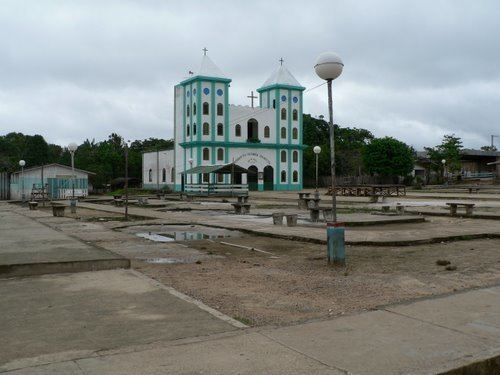
Japurá is a municipality located in the Brazilian state of Amazonas. Its population was 13,026 (2005) and its area is 55,791 km². It forms the Japurá microregion together with the municipality Maraã (to the east of the Japurá municipality). The southern border of both the municipality and the microregion is the Japurá River.
Map of Japur%C3%A1 - State of Amazonas, Brazil
The municipality contains the Juami-Japurá Ecological Station, which covers the entire Juami River basin. The municipality contains 55% of the 146,950 hectares (363,100 acres) Auatí-Paraná Extractive Reserve, created in 2001. It contains part of the 7,999,000 hectares (19,770,000 acres) Alto Rio Negro Indigenous Territory, created in 1998.
References
Japurá Wikipedia(Text) CC BY-SA