
 | ||
Major cities Ozu, Yusuhara, Susaki, Ikata | ||
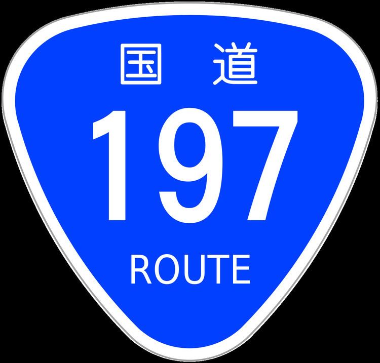
National Route 197 (国道197号, Kokudō 197-gō) is a Japanese national highway running on the islands of Kyūshū and Shikoku. It originates at the junction with Routes 10 and 210 in Ōita, Ōita (33.240841°N 131.615181°E / 33.240841; 131.615181) and terminates at the junction with Route 56 in Susaki, Kōchi (33.388381°N 133.274331°E / 33.388381; 133.274331). The route is 223.1 kilometers long but is interrupted between Saganoseki area of Ōita, Ōita (where it joins with Route 217) and Ikata, Ehime because of the Hōyo Strait, and traffic between the two islands is carried by a ferry between the two towns. Though the gap is less than 15 km at the strait's narrowest point, there are currently no plans to bridge the gap.
Map of Japan, %E5%9B%BD%E9%81%93197%E5%8F%B7%E7%B7%9A
References
Japan National Route 197 Wikipedia(Text) CC BY-SA