
 | ||
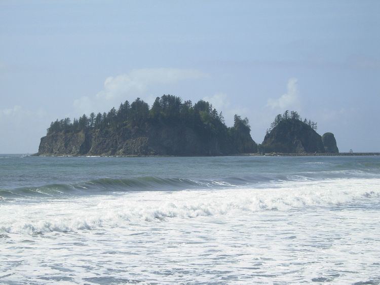
James Island (Quileute: A-ka-lat - "Top of the Rock") is an island at the mouth of the Quillayute River near La Push, Washington, reportedly named either for Francis W. James, the first white man to climb the island in 1885, though the Origin of Washington Geographic Names attributes the naming to a Quileute chief named Jimmie Howeshatta.
Map of James Island, Washington 98350, USA
Until the second half of the 19th century, the island was the site of a fortified village. After this, it was used as a site for growing crops for residents of the mainland, as well as a burial site for tribal chiefs. At 160 feet (49 m) in height, the island was also used as a lookout for spotting whales. The island was formerly a sea stack, connected to the mainland, until the US Army Corps of Engineers rerouted the Quillayute River, separating it. Today, the US Coast Guard operates a lighthouse and foghorn for boats coming into the harbor.
In 1966, James Island was removed from the Quillayute Needles National Wildlife Refuge by the U.S. Department of the Interior. The Interior Department returned the island to the Quileute people when it was discovered to be part of the Quileute Indian Reservation. No people outside of the Quileute tribe are allowed on the island.