
- elevation 460 m (1,509 ft) | ||
 | ||
- left Candeias RiverVerde River (Jamari River) - right Preto do Crespo RiverGuaiamã RiverBranco River (Jamari River) - location Porto Velho, Rondônia, Brazil | ||
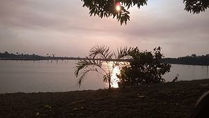
The Jamari River is a river of Rondônia state in western Brazil.
Map of Rio Jamari, State of Rond%C3%B4nia, Brazil
Part of the river's watershed is covered by the 221,218 hectares (546,640 acres) Jacundá National Forest, a sustainable use conservation unit. The Jamari river is dammed by the Samuel Hydroelectric Dam near Porto Velho, which forms a reservoir that covers 56,000 hectares (140,000 acres). The Samuel Ecological Station was established in compensation for the environmental impact. The ecological station extends to the east of the dam and protects part of the Jamari river basin.
References
Jamari River Wikipedia(Text) CC BY-SA