
Parliamentary constituency Bardhaman Purba Elevation 69 ft (21 m) Area 263 km² Local time Sunday 12:21 AM | District Bardhaman Assembly constituency Jamalpur Time zone IST (UTC+5.30) Population 266,338 (2011) | |
 | ||
Weather 22°C, Wind N at 2 km/h, 67% Humidity | ||
Jamalpur is a community development block that forms an administrative division in Bardhaman Sadar South subdivision of Bardhaman district in the Indian state of West Bengal.
Contents
- Map of Jamalpur West Bengal 713408
- Administrative set up
- Movements
- Geography
- Population
- Literacy
- Languages and religion
- Rural poverty
- Livelihood
- Infrastructure
- Agriculture
- Banking
- Education
- Healthcare
- References
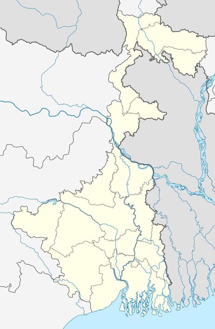
Map of Jamalpur, West Bengal 713408
Administrative set up
At some point of time the town was known as Salimabad. In Peterson’s District Gazeteer of 1910 there is mention of Jamalpur and other police stations in Bardhaman subdivision.
Movements
The freedom fighter Dasarathi Tah organised political movement in the area in the thirties and forties. Damodar floods wrought havoc in the area and Dasarathi Tah initiated the ‘Nakrah hana embankment movement’ and even published a weekly newspaper named Damodar to focus on the problems faced by the people in the area. The August movement of 1942 had a great impact in the area. The post office at Jamalpur was burnt down.
Geography
Jamalpur is located at 23°04′00″N 87°59′00″E.
Jamalpur CD Block is part of the Khandaghosh Plain, which lies in the south-western part of the district, The Damodar flows through the area. The bed of the Damodar is higher than the surrounding areas and the right bank is protected against floods with embankments in portions of the south of the Damodar River. The region has allauvial soil of recent origin. Unlike the rest of Bardhaman district, which lies to the north of the Damodar River, the Khandaghosh-Jamalpur-Raina area lies on the alluvial plains between the Damodar on its southern/ eastern side and the Dwarakeswar River. As a result, it has been a flood prone area.
Jamalpur CD Block is bounded by Memari I CD Block on the north, Dhaniakhali CD Block, in Hooghly district, on the east and south, and Raina I and Raina II CD Blocks on the west.
It is located 29 km from Bardhaman, the district headquarters.
Jamalpur CD Block has an area of 263.02 km2. It has 1 panchayat samity, 13 gram panchayats, 205 gram sansads (village councils), 123 mouzas and 121 inhabited villages. Jamalpur police station serves this block. Headquarters of this CD Block is at Jamalpur.
Gram panchayats of Jamalpur block/panchayat samiti are: Abhjhati I, Abujhati II, Ajhapur, Berugram, Chakdighi, Jamalpur I, Jamalpur II, Jarogram, Jaugram, Jotsriram, Panchra, Paratal I and Paratal II.
Population
As per the 2011 Census of India Jamalpur CD Block had a total population of 266,338, all of which were rural. There were 134,429 (51%) males and 131,809 (49%) females. Population below 6 years was 27,737. Scheduled Castes numbered 96,097 (36.08%) and Scheduled Tribes numbered 40,432 (15.18%).
As per the 2001 census, Jamalpur block had a total population of 243,474, out of which 123,728 were males and 119,746 were females. Jamalpur block registered a population growth of 14.87 per cent during the 1991-2001 decade. Decadal growth for Bardhaman district was 14.36 per cent. Decadal growth in West Bengal was 17.84 per cent.Scheduled castes at 87,575 formed around one-third the population. Scheduled tribes numbered 37,043.
Large villages (with 4,000+ population) in Jamalpur CD Block are (2011 census figures in brackets): Masagram (4,310), Ruppur (6,866), Nabagram (6,298), Ajhapur (8,502), Selimabad (5,491), Balarampur (5,490), Kalera (6,236), Sahhosenpur (4,209), Shura (6,384), Pranballabhpur (4,270), Abujhati (4,611), Amra (6,038), Jaugram (11,421) and Kulingram (7,730).
Other villages in Jamalpur CD Block include (2011census figures in brackets): Berugram (2,520), Jotshriram (1,780), Paratal (2,189), Chak Dighi (1,833),
Literacy
As per the 2011 census the total number of literates in Jamalpur CD Block was 176,756 (74.08% of the population over 6 years) out of which males numbered 97,172 (80.62% of the male population over 6 years) and females numbered 79,584 (67.41% of the female population over 6 years). The gender disparity (the difference between female and male literacy rates) was 13.21%.
As per 2001 census, Jamalpur block had a total literacy of 65.54 per cent for the 6+ age group. While male literacy was 74.49 per cent female literacy was 56.35 per cent. Bardhaman district had a total literacy of 70.18 per cent, male literacy being 78.63 per cent and female literacy being 60.95 per cent.
See also – List of West Bengal districts ranked by literacy rate
Languages and religion
Bengali is the local language in these areas.
In 2001 Bengali was the mother-tongue of 79.9% of the population of Bardhaman district, Hindi was the mother-tongue of 10.9%, Santali 4.9%, Urdu 2.8%, Bhojpuri 0.1% and Oraon 0.1%. There were other languages spoken by small percentages. However, as of 2017, CD Block-wise/ other region-wise break-up of mother tongue is not available in census/ other official sources.
In the 2011 census Hindus numbered 215,401 and formed 80.88% of the population in Jamalpur CD Block. Muslims numbered 44,866 and formed 16.85% of the population. Christians numbered 321 and formed 0.12% of the population. Others numbered 5,750 and formed 2.16% of the population.
In Bardhaman district the percentage of Hindu population has been declining from 84.3% in 1961 to 77.9% in 2011 and the percentage of Muslim population has increased from 15.2% in 1961 to 20.7% in 2011.
Rural poverty
As per poverty estimates obtained from household survey for families living below poverty line in 2005, rural poverty in Jamalpur CD Block was 28.18%.
Livelihood
In Jamalpur CD Block in 2011, amongst the class of total workers, cultivators formed 17.70%, agricultural labourers 58.38%, household industry workers 3.56% and other workers 20.37%.
Jamalpur CD Block is part of the area where agriculture dominates the scenario but the secondary and tertiary sectors have shown an increasing trend.
Weaving and oil milling had been major occupations in the area.
Infrastructure
All 123 or 100% of mouzas in Jamalpur CD Block were electrified by 31 March 2014.
All 123 mouzas in Jamalpur CD Block had drinking water facilities in 2013-14. There were 165 fertiliser depots, 30 seed stores and 66 fair price shops in the CD Block.
Agriculture
Although the Bargadari Act of 1950 recognised the rights of bargadars to a higher share of crops from the land that they tilled, it was not implemented fully. Large tracts, beyond the prescribed limit of land ceiling, remained with the rich landlords. From 1977 onwards major land reforms took place in West Bengal. Land in excess of land ceiling was acquired and distributed amongst the peasants. Following land reforms land ownership pattern has undergone transformation. In 2013-14, persons engaged in agriculture Jamalpur could be classified as follows: bargadars 7.85%, patta (document) holders 6.11%, small farmers (possessing land between 1 and 2 hectares) 5.57%, marginal farmers (possessing land up to 1 hectare) 21.68% and agricultural labourers 58.80%.
In 2003-04 net cropped area in Jamalpur Block was 19,062 hectares and the area in which more than one crop was grown was 19,408 hectares.
In 2013-14, Jamalpur CD Block produced 3,629 tonnes of Aman paddy, the main winter crop, from 1,280 hectares, 4,015 tonnes of Aus paddy (summer crop) from 1,517 hectares, 9,492 tonnes of Boro paddy (spring crop) from 2,796 hectares, 33 tonnes of jute from 2 hectares and 317,928 tonnes of potatoes from 14,672 hectares. It also produced oilseeds.
In Bardhaman district as a whole Aman paddy constituted 64.32% of the total area under paddy cultivation, while the area under Boro and Aus paddy constituted 32.87% and 2.81% repectively. The expansion of Boro paddy cultivation, with higher yield rates, was the result of expansion of irrigation system and intensive cropping. In 2013-14, the total area irrigated in Jamalpur CD Block was 16,278.48 hectares, out of which 14,340.40 hectares were irrigated by canal water, 781.56 hectares by river lift irrigation and 1,156.52 hectares by deep tube wells.
The Eden canal from Kanchannagar to Jamalpur was the first irrigation canal in the district. In the collectorate reports of 1904, it is recorded that the canal used to irrigate 20,000 acres of land.
Banking
In 2013-14, Jamalpur CD Block had offices of 7 commercial banks and 5 gramin banks.
Jamalpur CD Block has 10 ferry services and 11 originating/ terminating bus routes.
Howrah-Bardhaman chord passes through the CD Block and there are stations at Masagram and Nabagram.
The Bankura-Mathnasipur sector of Bankura-Masagram line has been operational since 2011. The line will have stations at Grammasagram, Habaspur and Gramdadpur in this CD Block.
Kolkata-Delhi NH 19 (old numbering NH 2) passes through this CD Block.
The Memari-Tarakeswar sector of SH 15 running from Dainhat (in Bardhaman district) to Gadiara (in Howrah district) passes through this CD Block and crosses NH 19 at Masagram.
Education
In 2013-14, Jamalpur CD Block had 167 primary schools with 13,172 students, 7 middle schools with 677 students, 12 high schools with 7,406 students and 11 higher secondary schools with 10,619 students. Jamalpur CD Block had 1 general college with 1,234 students, 1 technical/ professional institute with 100 students, 548 institutions for special and non-formal education with 14,924 students.
Jamalpur Mahavidyalaya was established at Jamalpur in 2010.
Radha Gobinda B Ed Teacher Training College was established at Jhapandanga, PO Keotara.
Healthcare
In 2014, Jamalpur CD Block had 1 block primary health centre, 4 primary health centres and 3 private nursing homes with total 98 beds and 8 doctors (excluding private bodies). It had 38 family welfare subcentres. 192,359 patients were treated indoor and 429,840 patients were treated outdoor in the hospitals, health centres and subcentres of the CD Block.
Jamalpur CD Block has a block primary health centre at Jamalpur and primary health centres at Nabagram and Chakdighi.
Jamalpur CD Block is one of the areas of Bardhaman district which is affected by a low level of arsenic contamination of ground water.