
Time zone PST (UTC+5) Elevation 253 m Literacy 40% Local time Saturday 8:22 PM | Province Punjab Calling code 057 Area 25 km² Postal code 43400 Population 10,000 (2006) | |
 | ||
Weather 19°C, Wind E at 11 km/h, 50% Humidity | ||
Jalalia (Urdu: جلاليه ) is a village located in Chhachh, the northern part of Attock District (chhachh) of the Punjab province of Pakistan and lies close to the borders of the North-West Frontier Province. The village has two primary schools, a boys' high school, fourteen mosques and three madrasahs, and 40% of its about 10,000 inhabitants are literate. There is a hospital, a medical store and over 70 shops. Like most villages, Jalalia is also an agricultural village producing wheat, maize and tobacco in addition to vegetables and fruit.
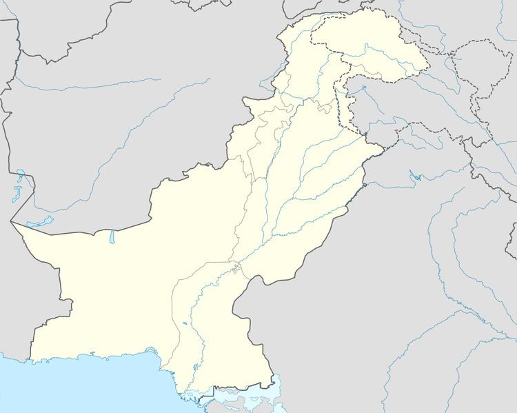
Map of Jalalia, Pakistan
References
Jalalia, Punjab Wikipedia(Text) CC BY-SA