
Country India District Bijnor Vehicle registration UP Elevation 133 m Population 16,113 (2001) | State Uttar Pradesh Time zone IST (UTC+5:30) Website up.gov.in Local time Saturday 8:45 PM | |
 | ||
Weather 20°C, Wind N at 8 km/h, 48% Humidity | ||
Jalalabad (Hindi: जलालाबाद, Urdu: جلال آباد Jalālābād) is a town and a nagar panchayat in Bijnor district in the Indian state of Uttar Pradesh.
Contents
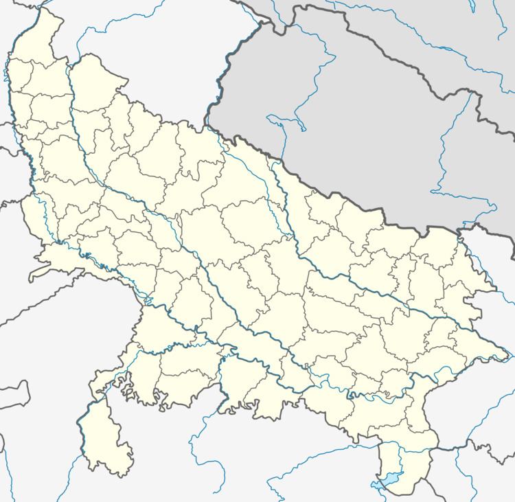
Map of Jalalabad, Uttar Pradesh
Geography
Jalalabad has an average elevation of 133 metres (436 feet).
Demographics
As of 2001 India census, Jalalabad had a population of 16,113. Males constitute 53% of the population and females 47%. Jalalabad has an average literacy rate of 39%, lower than the national average of 59.5%: male literacy is 44%, and female literacy is 33%. In Jalalabad, 21% of the population is under 6 years of age.Habib khan was 1st pradhan of jalalabad after independence of India for many years.on his name NGO habibia gram vikas sansthan,jalalabad running a school named habib memorial school and madarsa habibia lilbanat.
References
Jalalabad, Bijnor Wikipedia(Text) CC BY-SA