Country India District Madhubani PIN 847226 Elevation 77 m Population 177,556 (2011) ISO 3166 code ISO 3166-2:IN | Time zone IST (UTC+5:30) Vehicle registration BR32 Local time Saturday 6:03 PM Area code 06246 | |
 | ||
Weather 26°C, Wind W at 10 km/h, 36% Humidity | ||
Jainagar is a city and notified area in Madhubani district, Bihar State, India. It is situated on the holy Kamala River and has road and rail connections to India's main cities and to Nepal. The local language is Maithili.
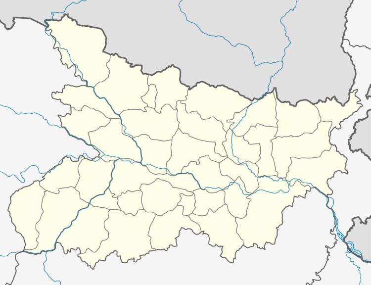
Map of Jaynagar, Bihar
As of 2011 India census, Jaynagar had a population of 1,77,556. Males constitute 53% of the population and females 47%. Jaynagar has an average literacy rate of 58%, slightly below the national average of 74.04%. Male literacy is 98%, and female literacy is 88%. 16% of the population is under 6 years of age.
References
Jainagar, Bihar Wikipedia(Text) CC BY-SA
