
Time zone IST (UTC+5:30) Elevation 31 m | Website odisha.gov.in Local time Saturday 2:45 PM | |
 | ||
Weather 32°C, Wind NW at 2 km/h, 50% Humidity University Jagannath Institute of Engineering & Technology Neighborhoods Jagatpur Industrial Estate, Pagasai, Peer Bazar, Delta Colony, Old Jagatpur, Barrage Colony | ||
Jagatpur is an industrial town located in the Cuttack district of Odisha, India.
Contents
Map of Jagatpur, Odisha
Geography
Jagatpur has an average elevation of 31 m (102 ft).
Just near Jagatpur there is a Jobra bridge and Mahanadi river goes under this after cross the jobra bridge there is Cuttack which was old capital of Odisha.
ECONOMY
Jagatpur is famous for Old industry and new Industry and you can find the various Industry over their like Pepsi company which is very old company at Jagatpur which is one of the largest company in Odisha and it's located along the banks of the river Mahanadi.
EDUCATION
There are 5 primary Schools and 10 high schools and 1 secondary High School and 15 technical Institutes In Jagatpur.There is Prakash Tutorial one of the famous Institute in Jagatpur which is situated at near Saraswati Sishu Vidya Mandir. The Most notable Institutes and schools are
Nimpur High School Saraswati Sishu Vidya Mandir Jagannath Institute Chidanand Institute
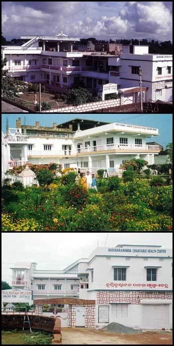
HEALTH CARE
Sadguru Medical, a state of the art 100 bedded multiplicity hospital with cardiology, nephrology, pulmonary, neurology, gastroenterology, gynecology, pediatrics etc. departments, caters to the need of the industrial town and coastal Odisha.