
Peak Jacumba Peak Topo map USGS Jacumba | Elevation 1,375 m Country United States of America | |
 | ||
District | ||
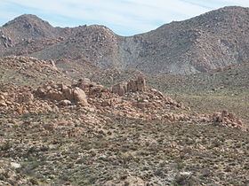
The Jacumba Mountains are a mountain range of the Peninsular Ranges system, located in eastern San Diego County, Southern California, near the U.S. border with Mexico.
Map of Jacumba Mountains, California, USA
The mountain range lies in a northwest-southeasterly direction, east of the In-Ko-Pah Mountains, and north of Interstate 8. The range is approximately 11.5 miles (18.5 km) long, and Table Mountain at the southeast end of the range is located about 3 miles (4.8 km) northeast of the town of Jacumba.
The Jacumba Mountains reach an elevation of 4,512 feet (1,375 m) at Jacumba Peak, near the southern end of the chain.
The Tierra Blanca Mountains and the Sawtooth Mountains are to the northwest, and Anza-Borrego Desert State Park due north. The Coyote Mountains lie to the northeast. The Volcanic Hills area lies on the northeast flank of the range.