
ZIP codes 46151, 46160 Elevation 242 m Population 3,439 (2010) | Time zone Eastern (EST) (UTC-5) GNIS feature ID 0453456 Area 93.03 km² Local time Friday 10:56 PM | |
 | ||
Weather 7°C, Wind W at 11 km/h, 94% Humidity | ||
Jackson Township is one of fourteen townships in Morgan County, Indiana, United States. As of the 2010 census, its population was 3,439 and it contained 1,437 housing units.
Contents
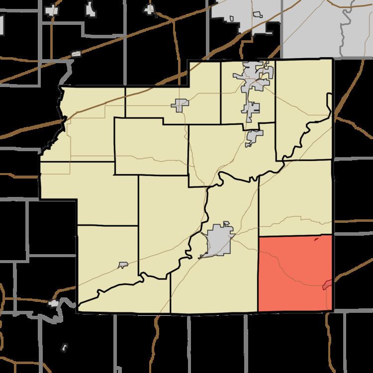
- Map of Jackson Township IN USA
- History
- Geography
- Cities towns villages
- Cemeteries
- Major highways
- Lakes
- School districts
- Political districts
- References
Map of Jackson Township, IN, USA
History
The Cedar Point Farm, Elm Spring Farm, and Lamb's Creek Bridge are listed on the National Register of Historic Places.
Geography
According to the 2010 census, the township has a total area of 35.92 square miles (93.0 km2), of which 35.5 square miles (92 km2) (or 98.83%) is land and 0.42 square miles (1.1 km2) (or 1.17%) is water.
Cities, towns, villages
Cemeteries
The township contains these three cemeteries: Gerholt, Nast Chapel and Williams.
Major highways
Lakes
School districts
Political districts
References
Jackson Township, Morgan County, Indiana Wikipedia(Text) CC BY-SA