
 | ||
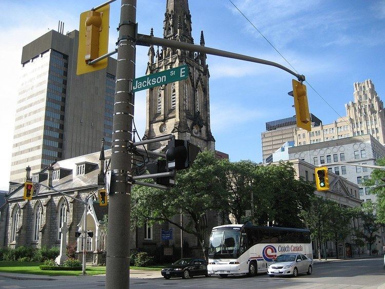
Jackson Street, is a Lower City collector road in Hamilton, Ontario, Canada. It starts off West of Locke Street South at Jackson Playground as a one-way street (Westbound) up to Queen Street South where it then switches over to a two-way street and is interrupted at Bay Street South the site of the Hamilton City Hall and the Canadian Football Hall of Fame (museum), resumes again East of the property on MacNab Street South and then ends at Wellington Street South.
Contents
- Map of Jackson St Hamilton KS 66853 USA
- History
- Landmarks
- Communities
- Parallel roads
- Intersecting roads
- References
Map of Jackson St, Hamilton, KS 66853, USA
History
Jackson Street is named after Edward Jackson, (1799-1872), tinware manufacturer. Originally Jackson Street was called Tyburn Street and later Maiden Lane. It is now named after Edward Jackson.
CHCH TV 11 began broadcasting in 1954 as a CBC affiliate from a transmitter located at 481 First Road West in Stoney Creek. At the time, all private stations were required to be CBC affiliates. The CHCH Television Tower is a 357.5 metre-high guyed TV mast which is the primary transmitter for television station CHCH-TV. When it was built in 1960, the CHCH Television Tower became the tallest structure in Canada. In 1961, CHCH disaffiliated from the CBC and became an independent TV station. In 1974, CHCH TV 11 was first in the world with the television premiere of The Godfather.
Hamilton is also home to the Canadian Football Hall of Fame museum. The museum hosts an annual induction event in a week-long celebration that includes school visits, a golf tournament, a formal induction dinner and concludes with the Hall of Fame game involving the local CFL Hamilton Tiger-Cats at Ivor Wynne Stadium.
Landmarks
Note: Listing of Landmarks from West to East.
Communities
Note: Listing of neighbourhoods from West to East.
Parallel roads
Lower City Roads:
Niagara Escarpment (Mountain) Roads:
Intersecting roads
Note: Listing of streets from West to East.