
Country Brazil Local time Friday 6:31 PM | Time zone BRT/BRST (UTC-3/-2) | |
 | ||
Weather 22°C, Wind W at 5 km/h, 90% Humidity | ||
Conhecendo o brasil jaborandi s o paulo
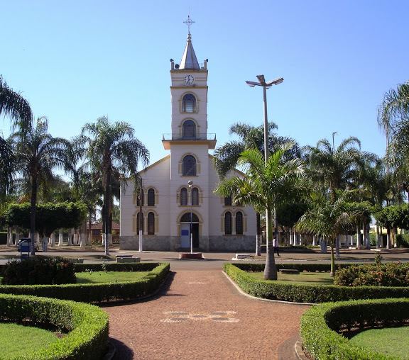
Jaborandi is a Brazilian municipality of the state of São Paulo, located 491 kilometers from the state capital, São Paulo. The population is 6,882 (2015 est.) in an area of 273 km².
Contents
- Conhecendo o brasil jaborandi s o paulo
- Map of Jaborandi State of SC3A3o Paulo Brazil
- History
- Geography
- Politics
- References
Map of Jaborandi - State of S%C3%A3o Paulo, Brazil
History
A settlement was founded in 1902 on the right bank of the stream Jaborandi, that takes its name from the plant jaborandi, that grows abundantly on its banks. In 1924 the district of Jaborandy was created. In 1949 Jaborandi was separated from the municipality of Colina and became an independent municipality.
Geography
Located in the northern part of the state, Jaborandi is 491 km from the city of São Paulo, the bordering munícipalities are Barretos, Morro Agudo, Terra Roxa and Colina. Its altitude is 493 meters. It has fertile lands (dark red latosol). The main river is the Rio Pardo.
Its climate is predominantly tropical, with low average temperature of 12 °C (period of July–August) and maximum average of 30 °C (period of January–February).
Politics
The mayors of Jaborandi: