
Area 2,740 km² | ||
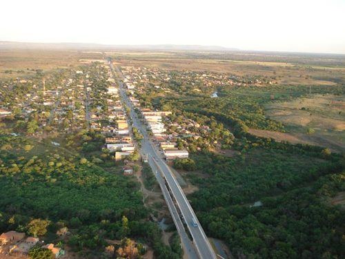 | ||
Jaíba is a municipality in the north of the Brazilian state of Minas Gerais. As of 2007 the population was 30,386 in a total area of 2,733 km². The elevation is 475 meters. It became a municipality in 1993. The postal code (CEP) is 39508-000.
Map of Ja%C3%ADba - State of Minas Gerais, Brazil
Jaíba is part of the statistical microregion of Janaúba. It is connected by paved MG-401 to the regional center of Janaúba to the south. The distance is 63 km.
With irrigation Jaíba has managed to produce a range of agricultural products. The main economic activities are cattle raising (62,000 head in 2006) and farming with production of bananas (2,000 hectares), citrus fruits, mangoes (200 ha.),rice, beans (3,480 ha.), corn (1,175 ha.), and sorghum (500 ha.). In 2006 there were 2,173 rural producers with a total area of 118,741 hectares. Cropland made up 18,000 hectares and natural pasture 57,000 hectares. There were only 186 tractors. In the urban area there were two financial institutions as of 2006. There were 852 automobiles, giving a ratio of about one automobile for every 35 inhabitants. The Gross Domestic Product was R$ 117,218,000 (2005). Health care was provided by 12 public health clinics. There was one hospital with 25 beds (2005).
Municipal Human Development Index