Area 15,833 km² | Local time Wednesday 10:45 PM | |
 | ||
Weather 23°C, Wind NE at 11 km/h, 73% Humidity | ||
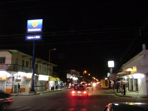
Jáltipan is a municipality in Veracruz, Mexico. It is located in south zone of the State of Veracruz, about 380 km from state capital Xalapa. It has a surface of 331.48 km2. It is located at 17°58′N 94°43′W.
Map of J%C3%A1ltipan, Ver., Mexico
The municipality of Jáltipan is delimited to the north by Chinameca, to the east by Oteapan, Zaragoza, Cosoleacaque and Hidalgotitlán, to the west by Texistepec and Soconusco.
It produces principally maize, beans, rice, and orange fruit.
In February the town holds a celebration in honor of Virgen de la Candelaria, patron saint of the town.
The weather in Jáltipan is warm all year with rains in summer and autumn.
References
Jáltipan Wikipedia(Text) CC BY-SA
