
Elevation 290 m Local time Friday 12:18 PM | Municipality Brežice Area 183 ha Population 18 (2002) | |
 | ||
Weather 17°C, Wind S at 2 km/h, 39% Humidity | ||
Izvir ([iˈzʋiːɾ]) is a small settlement in the Municipality of Brežice in eastern Slovenia. It lies in the Gorjanci Hills close to the border with Croatia. The area was traditionally part of Lower Carniola. It is now included in the Lower Sava Statistical Region.
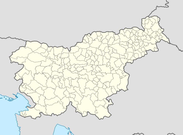
Map of 8263 Izvir, Slovenia
Izvir means 'spring' or 'source of water' in Slovene. Chance finds of Roman clay piping and archaeological excavations in the 1930s revealed a now reconstructed water cistern at the source of a stream and a Roman aqueduct supplying water to the nearby settlement of Neviodunum.
References
Izvir, Brežice Wikipedia(Text) CC BY-SA