
Country United States GNIS feature ID 243939 Local time Thursday 10:34 PM | Time zone Pacific (PST) (UTC-8) Elevation 1,073 m | |
 | ||
Weather 16°C, Wind SW at 10 km/h, 32% Humidity | ||
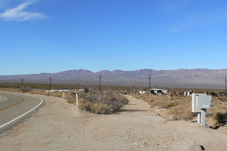
Ivanpah is in the Mojave National Preserve in San Bernardino County, California. There are several residences in the area, but no real village.
Map of Ivanpah, CA 92364, USA
Ivanpah is located on the bajada below the northeast side of the New York Mountains overlooking the broad Ivanpah Valley. The Ivanpah Mountains lie across the valley to the northwest.
Ivanpah is located at the crossing of Ivanpah Road and the Union Pacific Railroad, which was the Los Angeles and Salt Lake Railroad until 1921 when it was bought out by Union Pacific. There was once a general store located here.
The original name for this crossing was Leastalk. The California Eastern Railway crossed the LA&SL railroad at this location. The California Eastern Railway became part of California, Arizona and Santa Fe Railway, which abandoned operations in 1918, with the tracks being pulled up in 1921.
Ivanpah is also the home of the largest thermal solar power facility in the world which opened officially on February 13, 2014. (see Ivanpah Solar Power Facility)