
- land 35.96 sq mi (93 km) - summer (DST) CDT (UTC-5) | - water 0.06 sq mi (0 km) Local time Thursday 10:00 PM | |
 | ||
Weather 6°C, Wind SE at 10 km/h, 49% Humidity | ||
Iuka Township is located in Marion County, Illinois. As of the 2010 census, its population was 999 and it contained 443 housing units.
Contents
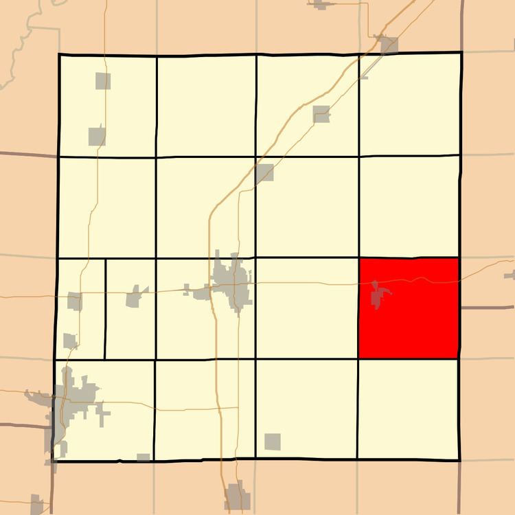
Map of Iuka Township, IL 62849, USA
Geography
Iuka Township (T2N R4E) is centered at 38°38'N 88°45'W (38.636,-88.758). It is traversed east-west by U.S. Route 50. According to the 2010 census, the township has a total area of 36.02 square miles (93.3 km2), of which 35.96 square miles (93.1 km2) (or 99.83%) is land and 0.06 square miles (0.16 km2) (or 0.17%) is water.
Adjacent townships
References
Iuka Township, Marion County, Illinois Wikipedia(Text) CC BY-SA