
Country United States FIPS code 31-24285 Area 60 ha Zip code 68033 Local time Thursday 8:33 PM | Time zone Central (CST) (UTC-6) GNIS feature ID 0830312 Elevation 358 m Population 148 (2013) Area code 402 | |
 | ||
Weather 14°C, Wind SE at 11 km/h, 60% Humidity | ||
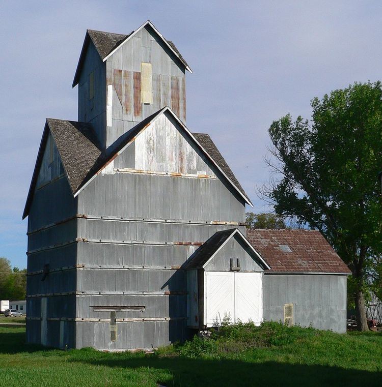
Ithaca is a village in Saunders County, Nebraska, United States. The population was 148 at the 2010 census. Even though a small village, Ithaca has attracted several notable residents to the surrounding area. Being close to both Omaha and Lincoln has made it an excellent location for more wealthy urbanites to build homes in the country.
Contents
Map of Ithaca, NE 68033, USA
History
Ithaca was founded in 1866. It was named after Ithaca, New York, the native home of a pioneer settler.
Geography
Ithaca is located at 41°9′37″N 96°32′23″W (41.160392, -96.539861).
According to the United States Census Bureau, the village has a total area of 0.23 square miles (0.60 km2), all land.
2010 census
As of the census of 2010, there were 148 people, 57 households, and 40 families residing in the village. The population density was 643.5 inhabitants per square mile (248.5/km2). There were 58 housing units at an average density of 252.2 per square mile (97.4/km2). The racial makeup of the village was 93.9% White, 4.1% Native American, and 2.0% from other races. Hispanic or Latino of any race were 8.1% of the population.
There were 57 households of which 38.6% had children under the age of 18 living with them, 61.4% were married couples living together, 5.3% had a female householder with no husband present, 3.5% had a male householder with no wife present, and 29.8% were non-families. 26.3% of all households were made up of individuals and 10.5% had someone living alone who was 65 years of age or older. The average household size was 2.60 and the average family size was 3.13.
The median age in the village was 36.7 years. 28.4% of residents were under the age of 18; 6.7% were between the ages of 18 and 24; 25% were from 25 to 44; 27.1% were from 45 to 64; and 12.8% were 65 years of age or older. The gender makeup of the village was 48.0% male and 52.0% female.
2000 census
As of the census of 2000, there were 168 people, 57 households, and 42 families residing in the village. The population density was 730.2 people per square mile (282.0/km²). There were 58 housing units at an average density of 252.1 per square mile (97.4/km²). The racial makeup of the village was 96.43% White, 1.79% Native American, and 1.79% from two or more races.
There were 57 households out of which 38.6% had children under the age of 18 living with them, 66.7% were married couples living together, and 26.3% were non-families. 21.1% of all households were made up of individuals and 8.8% had someone living alone who was 65 years of age or older. The average household size was 2.95 and the average family size was 3.50.
In the village, the population was spread out with 33.3% under the age of 18, 8.3% from 18 to 24, 28.0% from 25 to 44, 17.3% from 45 to 64, and 13.1% who were 65 years of age or older. The median age was 35 years. For every 100 females there were 93.1 males. For every 100 females age 18 and over, there were 111.3 males.
As of 2000 the median income for a household in the village was $36,875, and the median income for a family was $31,667. Males had a median income of $35,313 versus $24,167 for females. The per capita income for the village was $15,321. About 2.8% of families and 2.8% of the population were below the poverty line, including 2.2% of those under the age of eighteen and 3.1% of those sixty five or over.