
State Amapá Area 1,704 km² Population 4,026 (2010) | Elevation 8.11 m (26.61 ft) Local time Thursday 9:56 PM | |
 | ||
Weather 24°C, Wind N at 6 km/h, 99% Humidity | ||
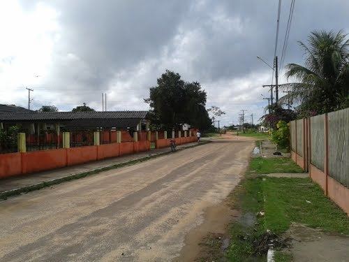
Itaubal is a municipality located in the southeast of the state of Amapá in Brazil. Its population is 4,026 and its area is 1,704 square kilometres (658 sq mi). Itaubal is located 112 kilometres (70 mi) from the state capitol of Macapá. It takes its name from the itaúba (Mezilaurus itauba), a valuable species of laurel. The tree was once found in great abundance in the region, but is now endangered. Itaubal is bordered to the southeast by the delta of the Amazon River, and surrounded by Macapá to the southwest, west, and north.
Map of Itaubal - State of Amap%C3%A1, Brazil
References
Itaubal Wikipedia(Text) CC BY-SA