
Postal code 11760-xxx Local time Thursday 9:50 PM | Time zone BRT/BRST (UTC-3/-2) Area code (00)55-11 | |
 | ||
Weather 25°C, Wind SW at 8 km/h, 73% Humidity | ||
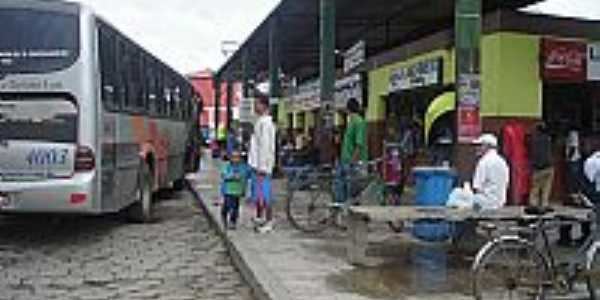
Itariri is a municipality in the state of São Paulo in Brazil. The population is 16,759 (2015 est.) in an area of 273.67 km². The elevation is 55 m. Itariri is situated on the BR-101 highway, 18 km west of the coastal city Peruíbe.
Map of Itariri, State of S%C3%A3o Paulo, Brazil
The municipality contains a small part of the 84,425 hectares (208,620 acres) Juréia-Itatins Ecological Station, a strictly protected area of well-preserved Atlantic Forest created in 1986.
References
Itariri Wikipedia(Text) CC BY-SA