
Time zone UTC-3 (UTC-3) Elevation 18 m Local time Thursday 9:47 PM | Region South Founded April 26, 1989 HDI (2000) 0.793 – medium Area 257.2 km² | |
 | ||
Weather 25°C, Wind N at 5 km/h, 92% Humidity Points of interest Porto de Itapoá, Itapoa, Balneário Uirapuru, Pontal, Praia da Barra do Sai-Mirim | ||
Itapoá is a municipality in the northern part of the state of Santa Catarina, Brazil. It borders the municipal areas of São Francisco do Sul in the south and of Garuva in the east. In the north it borders with the state of Paraná. It is the northernmost municipality in Santa Catarina.
Map of Itapo%C3%A1 - State of Santa Catarina, Brazil
Itapoá was originally part of the municipality of Garuva, but gained independency in 1989.
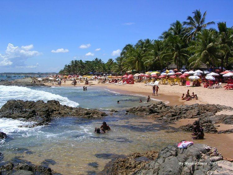
Its main revenue originates from tourism, due to its situation at the atlantic coast. The nature reserve "Volta Velha" in the premises of the municipality is one of the last large-scale remnant of Restinga vegetation in the state.
References
Itapoá Wikipedia(Text) CC BY-SA