
District Grafschaft Bentheim Time zone CET/CEST (UTC+1/+2) Area 20.28 km² Population 625 (31 Dec 2008) Dialling code 05922 | Elevation 35 m (115 ft) Postal codes 48465 Local time Thursday 3:20 PM Postal code 48465 | |
 | ||
Weather 16°C, Wind SW at 14 km/h, 44% Humidity | ||
The community of Isterberg in Lower Saxony’s district of Grafschaft Bentheim came into being in the 1970s through the amalgamation of the two former communities of Wengsel and Neerlage. It lies between Bad Bentheim and Nordhorn and belongs to the Joint Community (Samtgemeinde) of Schüttorf, whose administrative seat is in the like-named town.
Map of 48465 Isterberg, Germany
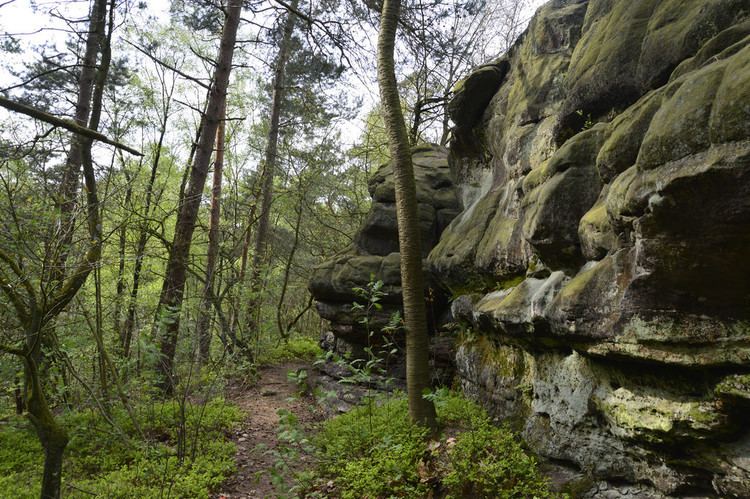
There is no actual village centre. The namesake hill, the Isterberg, with an elevation of 68 m is one of the last outliers of the Teutoburg Forest. There is a local YMCA (CVJM Isterberg-Quendorf), which serves not only the youth but also adults and older citizens as a meeting point. Furthermore, the Landjugend (“Rural Youth”) is also established in the community. The Landjugend organizes, among other things, a yearly tent festival well known throughout the old County of Bentheim. The small community also has its own volunteer fire brigade in which many volunteers take part.
The farthest outlier of the Teutoburg Forest is not found right at the Isterberg, but rather it ends in Bad Bentheim‘s outlying centre of Gildehaus. On the way out of that centre on Gronauer Str., going towards the Netherlands, the forest’s last trees come to an end. It is supposed, however, that the Teutoburg Forest once stretched all the way to the Fürstlicher Busch (Princely Bush), which lies in the farming community of Bardel.
Isterberg also has a free outdoor swimming pool.