
Intercommunality Chénérailles Area 26.43 km² | Canton Chénérailles Population (2008) 297 Local time Thursday 2:42 PM | |
 | ||
Weather 21°C, Wind NW at 6 km/h, 34% Humidity | ||
Issoudun-Létrieix is a commune in the Creuse department in the Nouvelle-Aquitaine region in central France.
Contents
Map of 23130 Issoudun-L%C3%A9trieix, France
Geography
A large area of forestry and farming, comprising the village and several hamlets situated some 7 miles (11 km) north of Aubusson, near the junction of the D54 and the D94 roads and also on the D990. The commune is in the valley of the Creuse River.
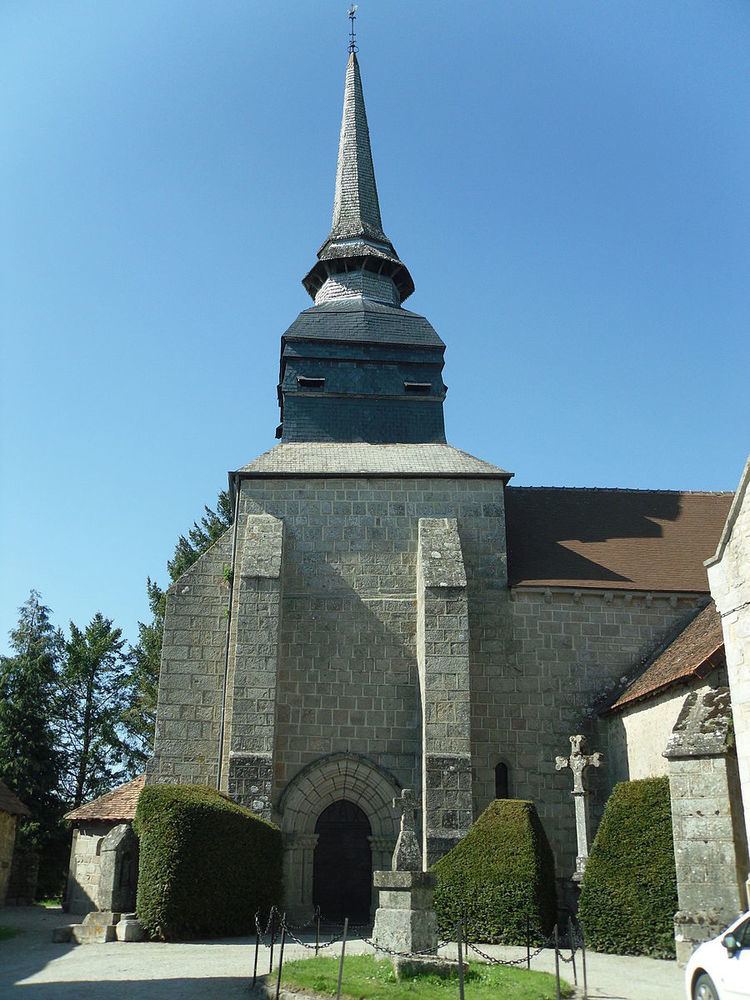
Sights
References
Issoudun-Létrieix Wikipedia(Text) CC BY-SA