Population 311 (2006 census) Postcode(s) 6535 Elevation 116 m Local time Thursday 9:26 PM | Established 1913 Founded 1913 Postal code 6535 | |
 | ||
Location 475 km (295 mi) NNW of Perth10 km (6 mi) South of Northampton39 km (24 mi) North of Geraldton Weather 21°C, Wind S at 18 km/h, 70% Humidity | ||
Isseka is a small town in the Mid West region of Western Australia.
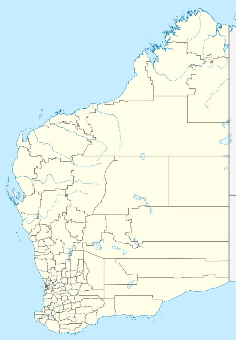
Map of Isseka WA 6535, Australia
Located on the North West Coastal Highway, the town is also close to the Bowes River.
The town is situated on a railway siding that was also named Isseka. The local progress association requested blocks to be released in the area in 1912. The townsite was gazetted in 1913.
The town was where the Premier of Western Australia David Brand spent part of his schooling.
References
Isseka, Western Australia Wikipedia(Text) CC BY-SA
