 | ||
Islay is a hamlet in central Alberta, Canada, within the County of Vermilion River. Previously an incorporated municipality, Islay dissolved from village status on March 15, 1944, to become part of the Municipal District of Vermilion Valley No. 482. The community was named after Islay, in Scotland, the ancestral home of pioneer settlers.
Contents
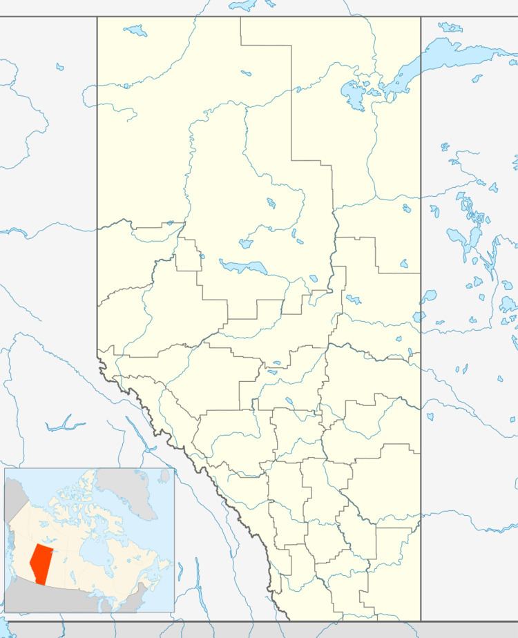
Map of Islay, AB, Canada
Islay is located 6 kilometres (3.7 mi) north of Highway 16, approximately 36 kilometres (22 mi) west of Lloydminster. Its first school opened in 1907.
Demographics
As a designated place in the 2016 Census of Population conducted by Statistics Canada, Islay recorded a population of 195 living in 80 of its 95 total private dwellings, a change of 2999370000000000000♠−6.3% from its 2011 population of 208. With a land area of 0.65 km2 (0.25 sq mi), it had a population density of 300.0/km2 (777.0/sq mi) in 2016.
As a designated place in the 2011 Census, Islay had a population of 208 living in 75 of its 87 total dwellings, a 10.1% change from its 2006 population of 189. With a land area of 0.58 km2 (0.22 sq mi), it had a population density of 359/km2 (929/sq mi) in 2011.
