
 | ||
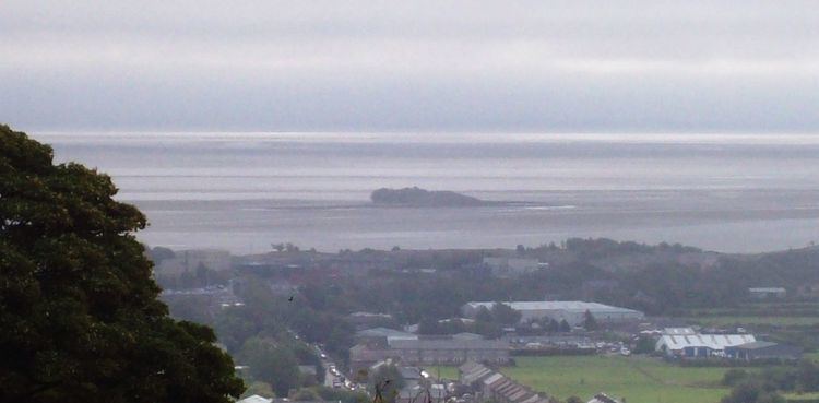
The Islands of Furness are situated to the south-west and east of the Furness Peninsula. Within England, they are the third biggest collection of islands. They are generally quite small, though at 12.99 km2 Walney Island is the eighth biggest in England. Of these, only Walney Island, Barrow Island, Roa Island and Piel Island are inhabited. The majority of the islands lie within the boundary of the Borough of Barrow-in-Furness, with some 15,000 residents constituting 20% of the district's population. They are the largest group of islands between Anglesey in Wales and the Firth of Clyde in Scotland.
Map of Islands of Furness, Barrow-in-Furness, UK
The main islands are:
As well as these, the small islets of Dova Haw, also known as Crab Island and Headin Haw sit in Walney Channel, whilst the old Ramsey Island is now, like Barrow Island, part of the docks system.
Chapel, Piel, Foulney and Sheep Islands are tidal and can be walked to at low tide, with appropriate care. Anyone wishing to walk to Piel and Chapel Islands should seek local advice as fast tides and quicksands can be extremely dangerous.