
Elevation 4,200 m | ||
 | ||
Location Bolivia, Potosí Department, Daniel Campos Province
Chile, Tarapacá Region Mountain range Cordillera Occidental, Andes Parent ranges Andes, Cordillera Occidental | ||
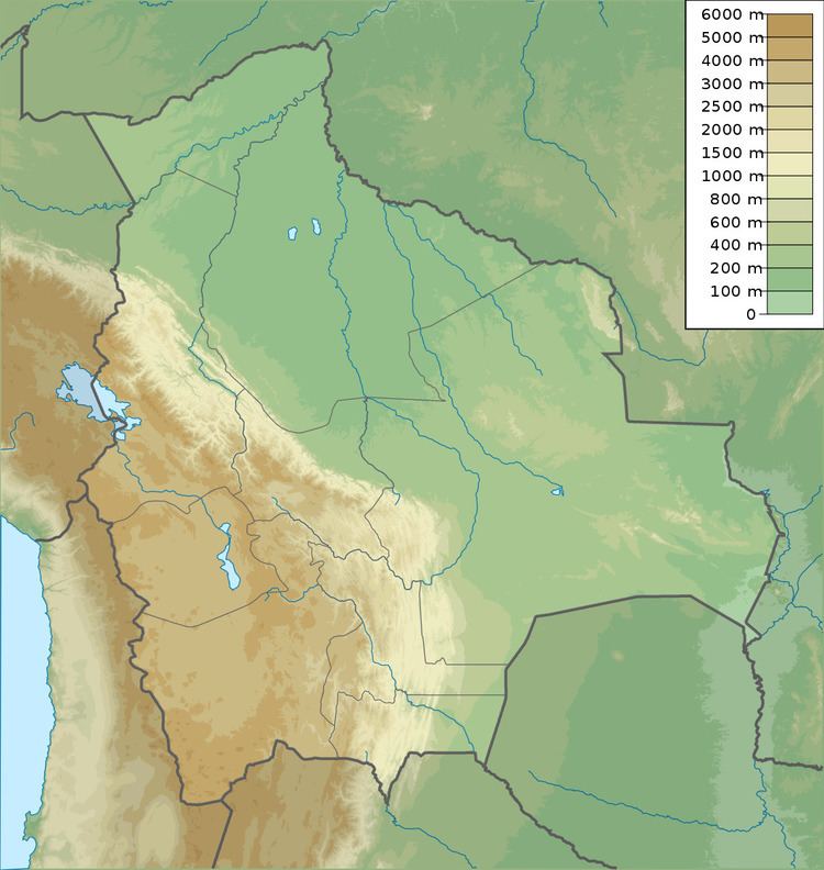
Iru Phutunqu (Aymara iru spiny Peruvian feather grass, phutunqu a small vessel or a hole, pit, crater, hispanicized spelling Iruputuncu) is a mountain in the Andes in the Cordillera Occidental on the border of Bolivia and Chile. The Chilean side is in the Tarapacá Region, and the Bolivian side is in the Potosí Department, Daniel Campos Province, Llica Municipality. Iru Phutunqu is southeast of Mount Candelaria, west of the Salar de Uyuni salt flat and south of the Umani. It is about 4,200 m (13,780 ft) high.
Map of Iru Phutunqu, Bolivia
References
Iru Phutunqu (Chile-Daniel Campos) Wikipedia(Text) CC BY-SA