
Country United States County Iron Area code(s) 715 & 534 Area 6.348 km² Zip code 54536 Population 173 (2010) | Time zone Central (CST) (UTC-6) GNIS feature ID 1566963 Elevation 474 m Local time Wednesday 11:17 AM | |
 | ||
Weather -3°C, Wind NW at 11 km/h, 35% Humidity | ||
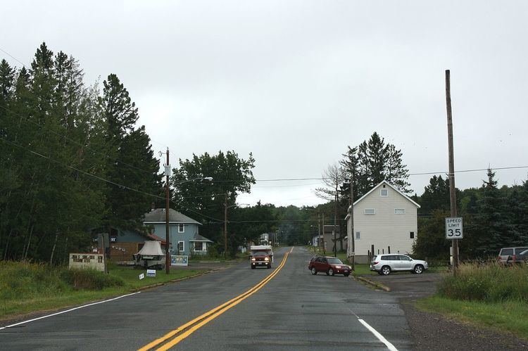
Iron Belt is an unincorporated census-designated place located in Iron County, Wisconsin, United States. Iron Belt is located on Wisconsin Highway 77 southwest of Montreal, in the town of Knight. Iron Belt has a post office with ZIP code 54536. As of the 2010 census, its population was 173.
Map of Iron Belt, WI 54536, USA
References
Iron Belt, Wisconsin Wikipedia(Text) CC BY-SA