Country Canada Time zone MST (UTC-7) Elevation 690 m Local time Wednesday 10:01 AM Number of airports 1 | Founded 1908 Area 111 ha Population 521 (2016) Province Alberta | |
 | ||
Weather -2°C, Wind SE at 5 km/h, 86% Humidity | ||
Irma is a village in central Alberta, Canada. It is located 29 kilometres (18 mi) northwest of Wainwright and 178 km southeast of Edmonton along Highway 14 and Highway 881.
Contents
Map of Irma, AB, Canada
History
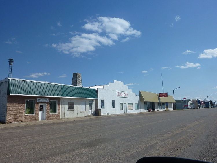
The Village of Irma came into being in 1908 when the Grand Trunk Pacific Railway came through. Irma was later incorporated as a Village on May 30, 1912. The village was supposedly named after the daughter of the GTPR second vice-president General William Wainwright. Records show three major fires in the downtown area. These broke out in 1911, 1931 and 1963. Most of the buildings on the main street (now 50 Street) were reconstructed after the 1931 fire. Alberta's first rural high school is located in Irma.
Demographics
In the 2016 Census of Population conducted by Statistics Canada, the Village of Irma recorded a population of 521 living in 221 of its 242 total private dwellings, a 7001140000000000000♠14% change from its 2011 population of 457. With a land area of 1.34 km2 (0.52 sq mi), it had a population density of 388.8/km2 (1,007.0/sq mi) in 2016.
In the 2011 Census, the Village of Irma had a population of 457 living in 204 of its 229 total dwellings, a 2.9% change from its 2006 population of 444. With a land area of 1.11 km2 (0.43 sq mi), it had a population density of 411.7/km2 (1,066.3/sq mi) in 2011.
In 2006, Irma had a population of 444 living in 213 dwellings, a 2.1% increase from 2001. The village has a land area of 1.11 km2 (0.43 sq mi) and a population density of 399.0/km2 (1,033/sq mi).
