
Time zone CST (UTC-6) Area 96.17 km² Population 1,167 (2010) | Established November 4, 1873 Elevation 144 m Local time Wednesday 10:36 AM | |
 | ||
ZIP codes 62231, 62246, 62253, 62283 Weather -2°C, Wind NW at 14 km/h, 48% Humidity | ||
Irishtown Township is one of fifteen townships in Clinton County, Illinois, USA. As of the 2010 census, its population was 1,167 and it contained 832 housing units.
Contents
- Map of Irishtown Township IL USA
- Geography
- Cities towns villages
- Unincorporated towns
- Cemeteries
- Major highways
- Airports and landing strips
- Landmarks
- School districts
- Political districts
- References
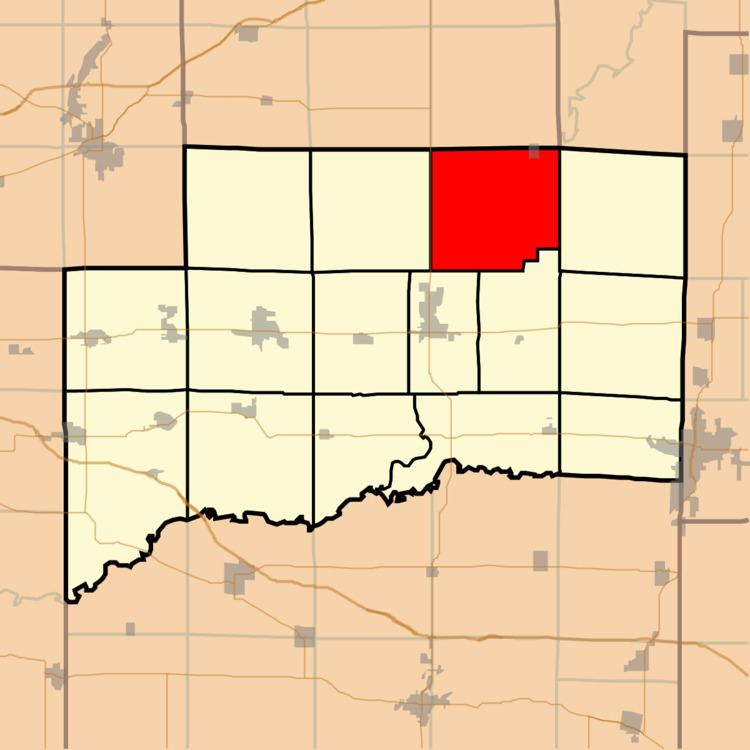
Map of Irishtown Township, IL, USA
Geography
According to the 2010 census, the township has a total area of 37.13 square miles (96.2 km2), of which 24.94 square miles (64.6 km2) (or 67.17%) is land and 12.19 square miles (31.6 km2) (or 32.83%) is water.
Cities, towns, villages
Unincorporated towns
(This list is based on USGS data and may include former settlements.)
Cemeteries
The township contains these three cemeteries: Gillespie, Keyesport and McNeill.
Major highways
Airports and landing strips
Landmarks
School districts
Political districts
References
Irishtown Township, Clinton County, Illinois Wikipedia(Text) CC BY-SA