Country Brazil Time zone AST (UTC-4) Area 2,215 km² Local time Wednesday 4:01 AM | Emancipated 1981 Area code(s) +55 92 Elevation 92 m Population 41,947 (2012) | |
 | ||
Weather 24°C, Wind SE at 3 km/h, 93% Humidity Points of interest Praia do Acutuba, Praia do Açutuba, Vitória Régia "Parque Nacional Do Janauari" | ||
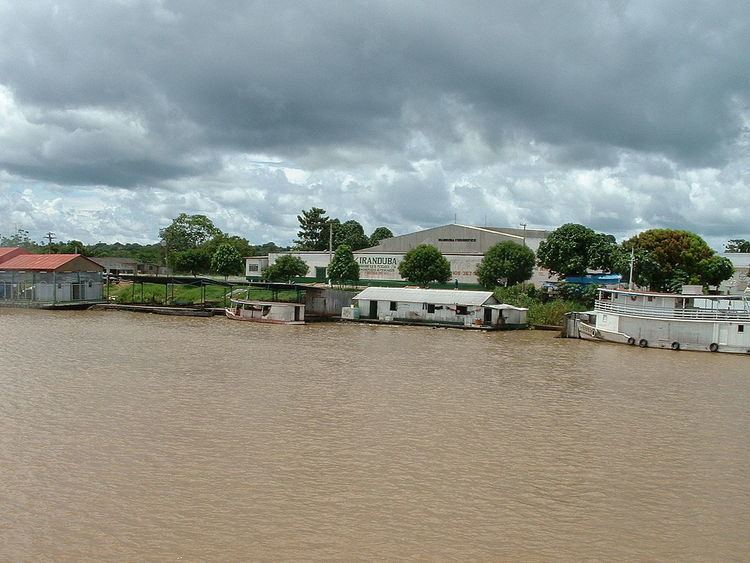
Iranduba is a municipality located in the Brazilian state of Amazonas.
Map of Iranduba - State of Amazonas, Brazil
The population of Iranduba in 2012 was 41,947 and its area is 2,215 km², making it the smallest municipality in Amazonas in terms of area. It is located south and west of Manaus on the right bank of the Rio Negro and the left bank of the Solimões River. It is connected to Manaus by the Manaus Iranduba Bridge, a cable-stayed bridge which opened in 2011.
The municipality contains about 21% of the Rio Negro Right Bank Environmental Protection Area, a 1,140,990 hectares (2,819,400 acres) sustainable use conservation unit that controls use of an area of Amazon rainforest along the Rio Negro above the junction with the Solimões River. It also contains about 80% of the Rio Negro Sustainable Development Reserve, a 103,086 hectares (254,730 acres) sustainable use conservation unit created in 2008 in an effort to stop deforestation in the area, which is threatened due to its proximity to Manaus.
