
Founded July 26, 1949 Time zone PST (UTC+8) Number of airports 1 | District 2nd District Barangays Area 241.6 km² Local time Wednesday 1:43 PM | |
 | ||
Weather 26°C, Wind N at 10 km/h, 91% Humidity | ||
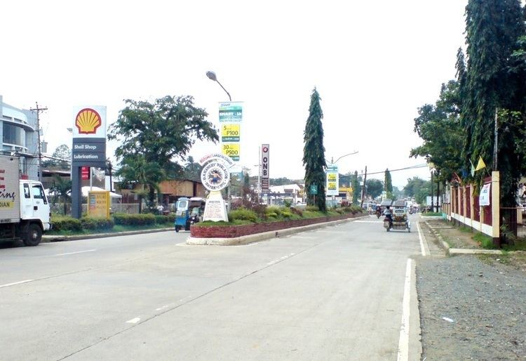
Ipil (Cebuano: Lungsod sa Ipil; Zamboangueño: Municipalidad de Ipil) is a first class municipality and the provincial capital of Zamboanga Sibugay, Philippines. According to the 2015 census, it has a population of 74,656 people, being the most populous municipality of Zamboanga Sibugay.
Contents
- Map of Ipil Zamboanga Sibugay Philippines
- Barangays
- History
- Early Ilocano routes
- Hospitals
- Media
- References
Map of Ipil, Zamboanga Sibugay, Philippines
Ipil is located three hours from the key cities in the region, including Dapitan, Dipolog, Pagadian and Zamboanga City. The Ipil seaport is 4 kilometres (2 mi) south of the town center.
Barangays
Ipil is subdivided into 28 barangays.
History
Ipil used to be known as Sanito, a place under barrio Bacalan under the Municipality of Kabasalan. It was a swampy area and a docking spot for pioneering Ilocanos who settled in the upper areas of Titay. Ipil was a jumping point for their lantsa sailing to Zamboanga City. The first mayor of Ipil was Gregorio Dar an Ilocano who came from Titay. The Dar Family were the second batch of Ilocanos who settled upon the invitation of Mariano Families who are among the first batch of Ilocanos from Luzon.
Early Ilocano routes
The first Ilocanos used Ipil as the nearest jump point in connecting Titay with Zamboanga City. They would walk via Lumbia then to Longilog then Gabo reaching Mayabang their original settlement. It was this route that they do not have to cross the rivers as it is uphill. It was the Ilocanos who first set foot on these areas.
Hospitals
Media
Several radio stations operate in the area: dxLR- 98.1 FM, Flazh-FM 99.7, Hitz 98.9, Magic 103 FM, 94.3 dxIR FM, dxDS FM, Igsoon FM and Radyo Lipay AM; and several newspapers are published here, including the Zamboanga Sibugay Tribune and the The Sibugay Express.