
Population 747 (2011 census) Postal code 2350 | Postcode(s) 2350 Elevation 1,040 m | |
 | ||
Location 454 km (282 mi) N of Sydney483 km (300 mi) S of Brisbane16 km (10 mi) W of Armidale19 km (12 mi) N of Uralla, New South Wales Weather 21°C, Wind E at 16 km/h, 66% Humidity | ||
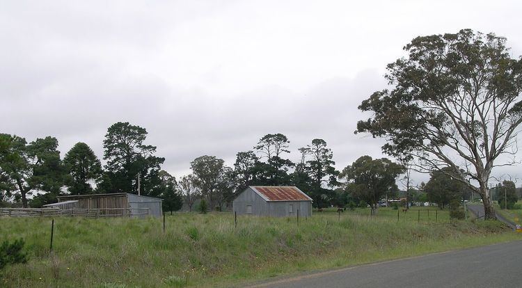
Invergowrie is a locality in the Uralla Shire local government area on the Northern Tablelands of New South Wales, Australia. It is located about 16 km west of Armidale, about halfway between Sydney and Brisbane and approximately 200 km inland from Coffs Harbour on the Pacific coast. Invergowrie is a popular rural neighbourhood for staff of the University of New England. At the 2011 census, Invergowrie had a population of 747 people. It has a little store, a fuel station, a New South Wales Rural Fire Service station and a child care centre.
Invergowrie was named after the village Invergowrie in Scotland.
References
Invergowrie, New South Wales Wikipedia(Text) CC BY-SA