
Population 647 (2011 census) Postal code 3636 Federal division Division of Murray | Postcode(s) 3636 Mean max temp Mean min temp Local time Wednesday 10:00 AM | |
 | ||
Location 228 km (142 mi) N of Melbourne35 km (22 mi) NW of Shepparton16 km (10 mi) S of Katamatite State electorate(s) Ovens ValleyShepparton Weather 25°C, Wind NE at 14 km/h, 52% Humidity | ||
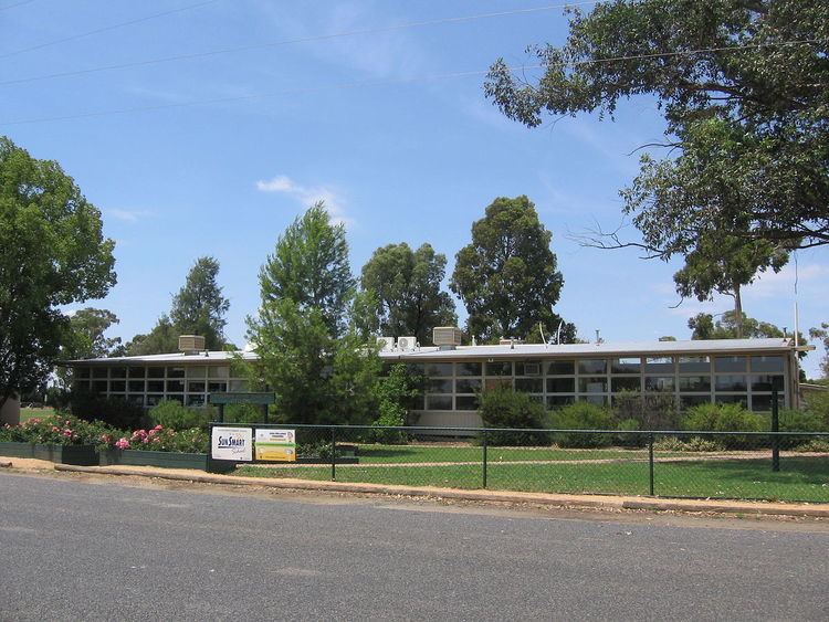
Invergordon is a town in northern Victoria, Australia.
Map of Invergordon VIC 3636, Australia
The town is located 31 km from Numurkah (33 min drive) and 37 km from Shepparton (41 min drive).
At the 2011 census, Invergordon and the surrounding area had a population of 647.
The Post Office opened on 1 February 1882 as Drumanure, was renamed Invergordon in 1885, Invergordon North in 1966 and closed in 1970. An Invergordon South Post Office opened in 1927 and closed in 1953. Invergodon is dominantly a farming area.
References
Invergordon, Victoria Wikipedia(Text) CC BY-SA