
OS grid reference NG841575 Sovereign state United Kingdom Local time Tuesday 10:46 PM | Postcode district IV22 2 Council area Highland | |
 | ||
Weather 6°C, Wind W at 40 km/h, 86% Humidity Scottish parliament | ||
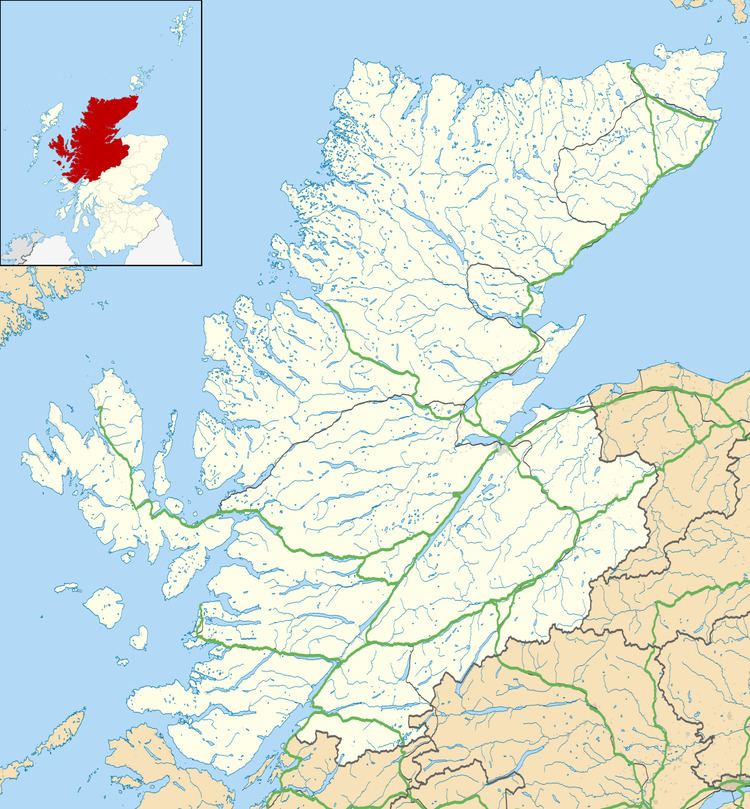
Inveralligin (Scottish Gaelic: Inbhir Àiliginn) is a remote crofting township which lies on the north shore of Loch Torridon in Wester Ross and is in the Scottish council area of Highland. Inbhir Àiliginn means "at the mouth of the River Alligin".
Map of Inveralligin, Achnasheen, UK
Torridon lies to the east and Lower Diabaig about 5 kilometres (3.1 mi) to the west. Alligin Shuas lies immediately to the west. This name is also of Gaelic origin: alligin may be from àilleag meaning "jewel" and shuas means "western" or "upper".
References
Inveralligin Wikipedia(Text) CC BY-SA