
South end: I-80 in Omaha, Neb. NE N-1 → Constructed 13 December 1966 | East end: I-80 near Neola, Iowa IA Iowa 904 → Length 68.98 km | |
 | ||
Existed: December 13, 1966 – present | ||
Interstate 680 (abbreviated I-680) in Nebraska and Iowa is the northern bypass of the Omaha – Council Bluffs metropolitan area. I-680 spans 42.86 miles (68.98 km) from its southern (counterclockwise) end in western Omaha to its eastern (clockwise) end near Neola, Iowa. For a 10-mile (16 km) stretch, I-680 is co-signed with I-29. The freeway passes through a diverse range of scenes and terrains – the urban setting of Omaha, the Missouri River and its valley, the rugged Loess Hills, and the farmland of Pottawattamie County, Iowa.
Contents
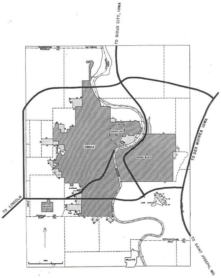
Map of I-680, United States
Until 1973, the section in Iowa between the current eastern end and I-29 was designated as Interstate 80N. I-680 in Omaha was originally designated Interstate 280. Maps from the early and mid-1960s showed I-280 in Omaha. Since this highway would extend into Iowa, and I-280 was already planned for the Quad Cities area, this route was redesignated I-680.
Route description
Interstate 680 begins at a complex interchange with I-80 in Omaha. Due to the proximity of the West Center Road interchange on I-680 and the I, L and Q Street interchanges on I-80, all of the exit and entrance ramps which connect I-80 to I-680 also connect to West Center Road and I, L and Q Streets. The freeway heads north through the heart of West Omaha; it serves as a dividing line of several residential neighborhoods. Two miles (3.2 km) north of West Center Road, which prior to 2003 was N-38, is a new interchange with U.S. Route 6 (US 6), known as Dodge Street in Omaha. Another mile north of Dodge Street is N-64, known as Maple Street.
At N-133, I-680 turns to the east towards Iowa. South of this interchange, I-680 travels through residential neighborhoods, but to the east, the population thins and the interstate passes through farmland for 4 1⁄2 miles (7.2 km). I-680 crosses over N-36, which is accessed via the US 75 interchange 1⁄2 mile (0.80 km) later. US 75 runs adjacent to I-680 for one mile (1.6 km) before turning south at 30th Street. The interstate crosses the Missouri River to Iowa via the Mormon Bridge.
In Iowa, Interstate 680 is markedly less urban than in Nebraska. The first three miles (4.8 km) of I-680 travel through the flat bottoms of the Missouri River valley. At the interchange west of Crescent, eastbound I-680 joins northbound I-29 for just under ten miles (16 km). The north–south stretch of I-29 / I-680 sits approximately halfway between the Missouri River and the Loess Hills. Near the unincorporated village of Loveland, I-680 exits from I-29 and turns east again, immediately entering the Loess Hills.
For six miles (9.7 km), I-680 cuts through the rugged Loess Hills. Two miles (3.2 km) east of the I-29 interchange, there is a scenic overlook for westbound traffic. The Loveland overlook gives a view of the Loess Hills and Missouri River valley. Continuing east, I-680 travels over the rolling hills of rural Pottawattamie County. Four miles (6.4 km) of Neola, I-680 meets the southern end of Iowa Highway 191 (Iowa 191) before ending itself 3⁄4 mile (1.2 km) later at a full Y interchange at I-80.
History
In Nebraska, plans for Interstate 280 to bypass Omaha to the north to I-29 were drawn up in the late 1950s. At the same time, plans were being drawn up for an Interstate 280 to bypass the Quad Cities. Since two interstates cannot have the same designation in the same state, one of the I-280s had to be renumbered. The Omaha I-280 was re-designated as I-680 around 1965. In Iowa, Interstate 80N opened to traffic on December 13, 1966. I-80N extended from the current northern interchange with I-29 near Loveland to the I-80 interchange near Neola.
In the early 1970s, AASHTO, the American Association of State Highway Transportation Officials, decided that interstates with a directional suffix, such as I-80N, would have to be renumbered. By 1974, I-80N had been re-designated to I-680 to match Nebraska. The last piece of I-680 to be completed in Nebraska was the westbound bridge across the Missouri River. Paving in Iowa wrapped up in the years to come and the entire route was open to traffic by April 21, 1979.
2011 flooding
Over the course of several months in 2011, I-680 was severely damaged by flood waters from the Missouri River. The first sections of both I-680 and I-29 closed on June 10. I-29 was closed from North 25th Street to the northern I-680 interchange near Loveland. I-680 was closed from US 75 in Omaha to the southern interchange with I-29. A week later, water was diverted and drained from the area around the northern I-29 interchange to allow traffic to use the roads. I-680 was opened from the interchange to the Beebeetown exit and I-29 was reopened from the interchange to the US 30 exit at Missouri Valley. I-29 traffic was routed around the flooded area by using I-680 eastbound to I-80 westbound to Council Bluffs.
After flood waters receded and the damage was assessed, sections of I-680 were reopened to traffic. However, the section west of I-29 was the most heavily damaged and it remained closed. Contract bids were let on September 23 and reconstruction began on September 28. Construction crews worked at "an accelerated pace" to complete the road in 34 days. The road was officially reopened on November 2 during a ceremony in Crescent hosted by Governor Terry Branstad.