
Existed: 1967 – present Constructed 1965 | Length 25.48 km | |
 | ||
Interstate 475 (I-475) is a 15.83-mile-long (25.48 km) auxiliary Interstate highway in Georgia, splitting off from I-75 and bypassing Macon. It is also unsigned State Route 408 (SR 408). This is the preferred route for through traffic, as I-75 enters downtown Macon and reduces to four lanes (two in either direction; undergoing widening), and has a 60-mile-per-hour (97 km/h) speed limit, in addition to the highway interchange with I-16.
Contents
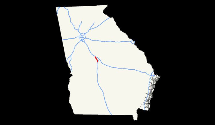
Map of I-475, Macon, GA, USA
Route description
I-475 carries six lanes (three in each direction) throughout its entire route (expanding to eight lanes at both junctions with I-75), except at its northernmost terminus with I-75, where it briefly reduces to four lanes.
The road has also been equipped with traffic cameras, which are a part of the Georgia Navigator system that has been extended via fiber optics all the way from metro Atlanta, nearly 100 miles (160 km) to the north-northwest.
History
Built in stages between 1965 and 1967, I-475 was originally built with two lanes in each direction, and a wide median with forest, mostly of sweetgum trees. When the one lane was added in each direction, every bit of the median was paved, with a full-lane-wide shoulder in both directions instead of the normal very narrow ones, and a Jersey barrier, rather than leaving or replanting any trees or other landscaping or native vegetation.
In 1965, the entire length of the highway was under construction. In 1987, the entire highway opened. At the time I-75 going into Macon was not yet complete.
The Bibb County Commission named the highway in honor of former Commission Chairman Larry Justice, who retired in 2000.