
Existed: 1964 – present Counties: San Mateo Length 2.69 km | Constructed 1964 | |
 | ||
County San Mateo County, California | ||
Interstate 380 (I-380) is a short 1.7-mile (2.7 km) east–west spur Interstate Highway in the San Francisco Bay Area of Northern California, connecting Interstate 280 in San Bruno to U.S. Route 101 near the San Francisco International Airport (SFO). The highway primarily consists of only three intersections: I-280, El Camino Real (State Route 82), and U.S. 101. Like nearby I-280, I-380 never connects to Interstate 80, its parent Interstate Highway. However, there is no rule that says that spur routes need to. (Similarly, the spur route Interstate 795 branches off from Interstate 695, a beltway around Baltimore, and is only indirectly linked to Interstate 95.)
Contents
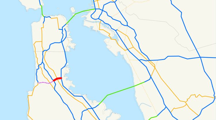
Map of I-380, San Bruno, CA 94066, USA
I-380 is officially known as the Quentin L. Kopp Freeway, named after the prominent Calif. State Senator from San Mateo County. This highway was previously named the Portola Freeway to honor the eighteenth-century Spanish explorer Gaspar de Portolá, whose expedition in 1769-70 discovered the San Francisco Bay, from a viewpoint on the Sweeney Ridge located between San Bruno and Pacifica.
Interstate 380 is part of the California Freeway and Expressway System.
Route description
I-380 begins at a junction with I-280 in San Bruno. This junction is really only partially built, allowing room to build a proposed freeway extension west towards State Route 1 (see below). I-380 then travels east through the City of San Bruno, intersecting with State Route 82, El Camino Real, before reaching US 101.
At its terminus at US 101, the mainline lanes of I-380 continue to North Access Road. Meanwhile, the ramps to and from southbound US 101 provide connections to collector/distributor roads leading directly to San Francisco International Airport, allowing traffic between the Interstate and the airport to avoid merging with the main traffic lanes of US Highway 101.
History
There were plans to extend I-380 all the way to State Route 1 (the Cabrillo Highway), but due to the route's passing over the San Andreas Fault and opposition from members of the local community, this project has yet to be tackled. The westbound lanes of I-380 branch off to the right at I-280, leaving a very wide, paved space which would carry the freeway extension under I-280 towards SR 1. This space is currently often used as storage space for equipment used in highway maintenance. A pair of unused bridges crossing over the I-280 South to I-380 East offramp remain as evidence.
Despite the opposition, Chapter 2, Article 3, Section 608 of the California Streets and Highways Code still legally defines Route 380 as traveling from "Route 1 near Pacifica to Route 280 in San Bruno", and the exit numbers assigned at I-280 go to five instead of one or zero.
Exit list
Mileage is measured from the unconstructed western terminus at State Route 1 near Pacifica. The entire route is in San Mateo County.